Relief map of Saudi Arabia
Relief map of Saudi Arabia
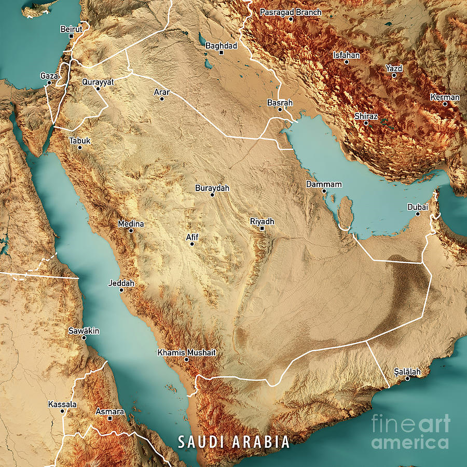
‘The country that will host the Asian Winter Games in 2029…
It snows every year in the Saudi north. The snow blankets the sand.’
Ptolemaic map of the Arabian Peninsula, published in 1584
Ptolemaic map of the Arabian Peninsula, published in 1584
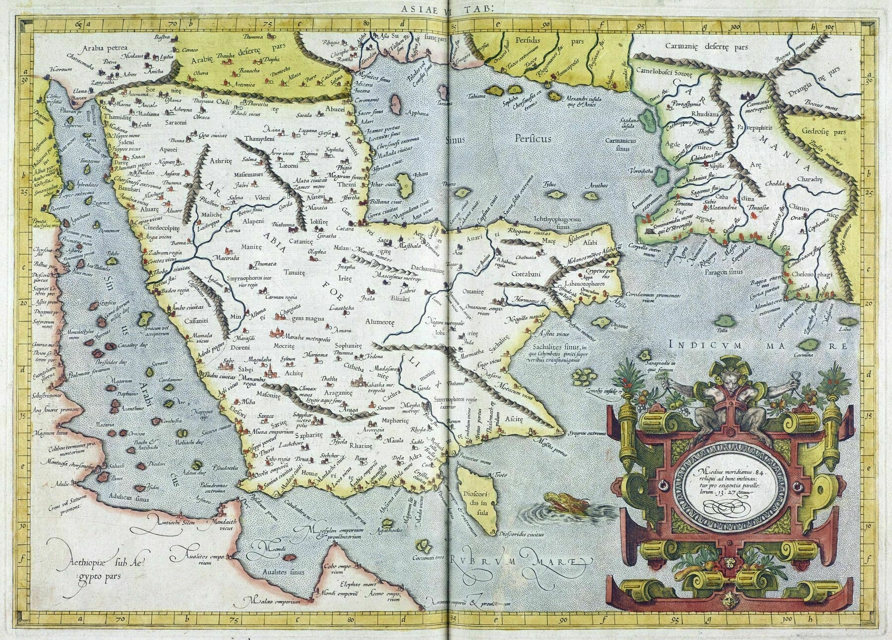
‘Can anyone explain the complete lack of the Qatar Peninsula?
It got Qat-off’
1962 Iranian map of the Arabian Peninsula
1962 Iranian map of the Arabian Peninsula
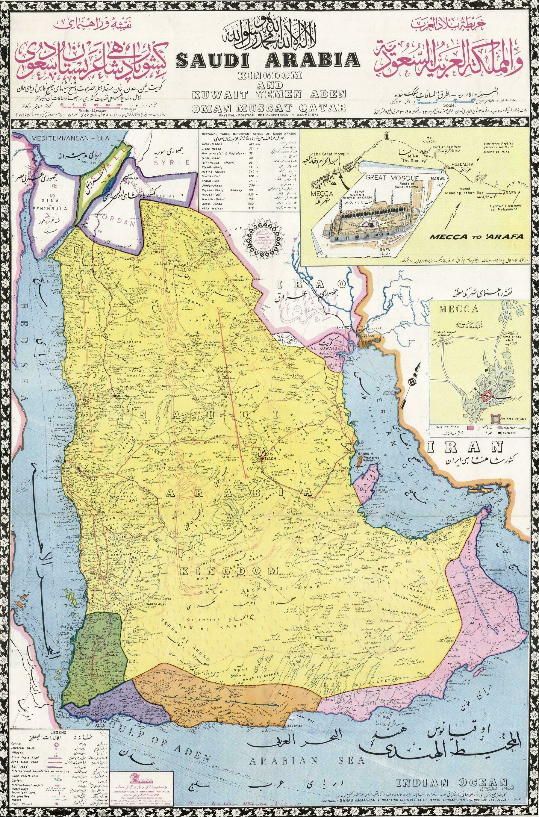
‘Loving some of that beautiful calligraphy’
1831 map of Arabia, Egypt and Nubia - by Daniel Lizars
1831 map of Arabia, Egypt and Nubia - by Daniel Lizars
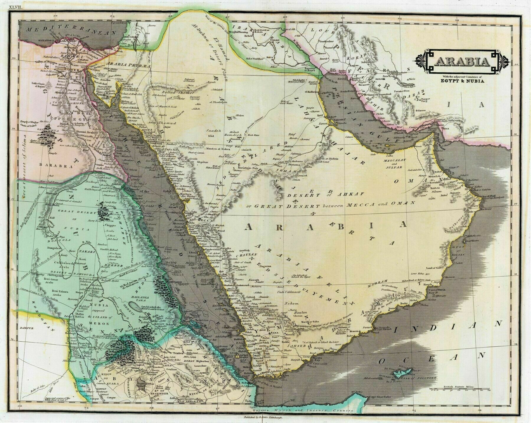
‘Love old maps. Naturally, lots of things are off. Still cool’–TheDesertWalker
1909 Ottoman Map of the Arabian Peninsula
1909 Ottoman Map of the Arabian Peninsula
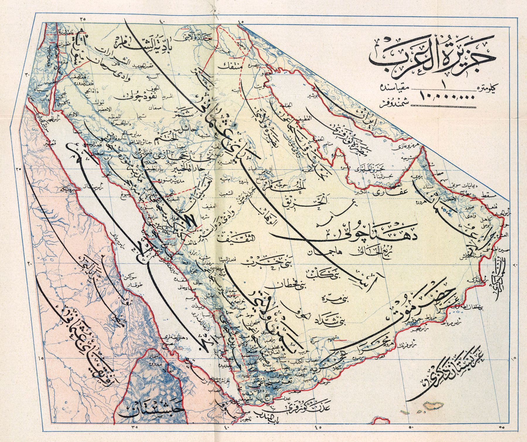
‘I believe those are just extended letterforms. If it’s 1909, the Ottoman Empire used the Arabic script for official documents, which is seen here. This script allows for words to be extended by those horizontal lines (called a “kashida”) for aesthetic or functional purposes (or both). In this case it seems to be for the purpose of creating a hierarchy of information where the large text would name a region (i.e. Egypt, Hejaz, Red Sea, etc.) but the extenders would leave space for smaller text and information to branch off them. Certainly a different approach to graphic arts than with Latin alphabet, but one that seems based on the aspects of the written language itself’–threeleaps
The Arabian Peninsula in 1914
The Arabian Peninsula in 1914
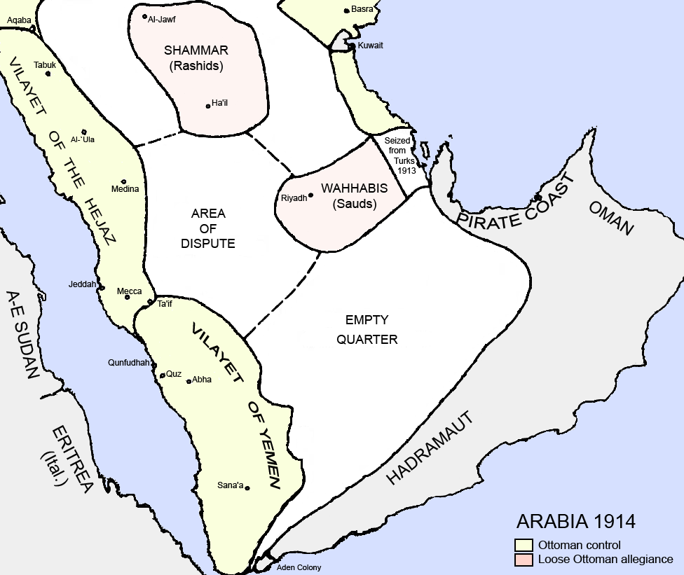
“I really wish the Saud had stayed in that little bubble with their demented ideology”–untipoquenojuega
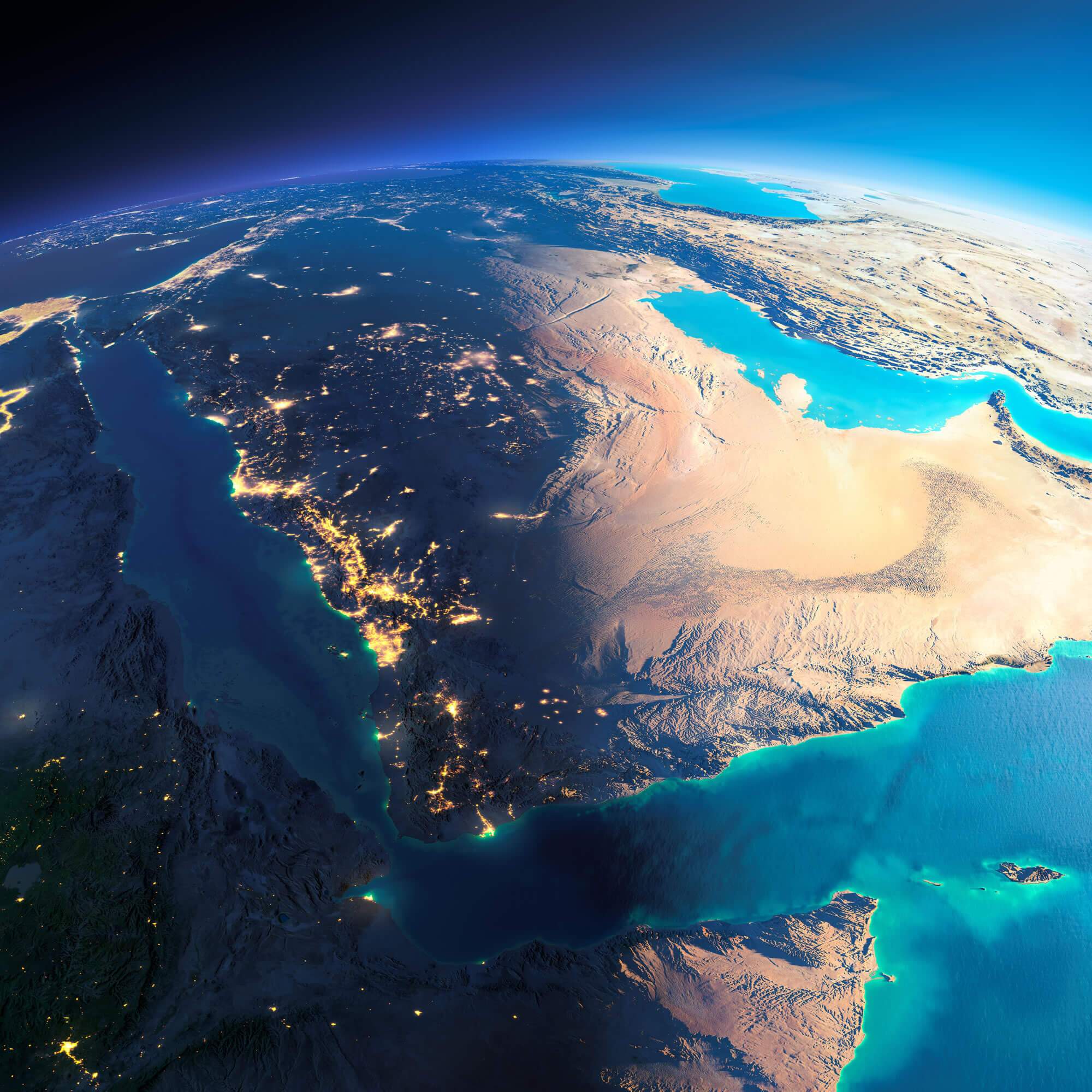
Exaggerated relief map of the Arabian Peninsula at sunrise
Exaggerated relief map of the Arabian Peninsula at sunrise
[2000 × 2000]
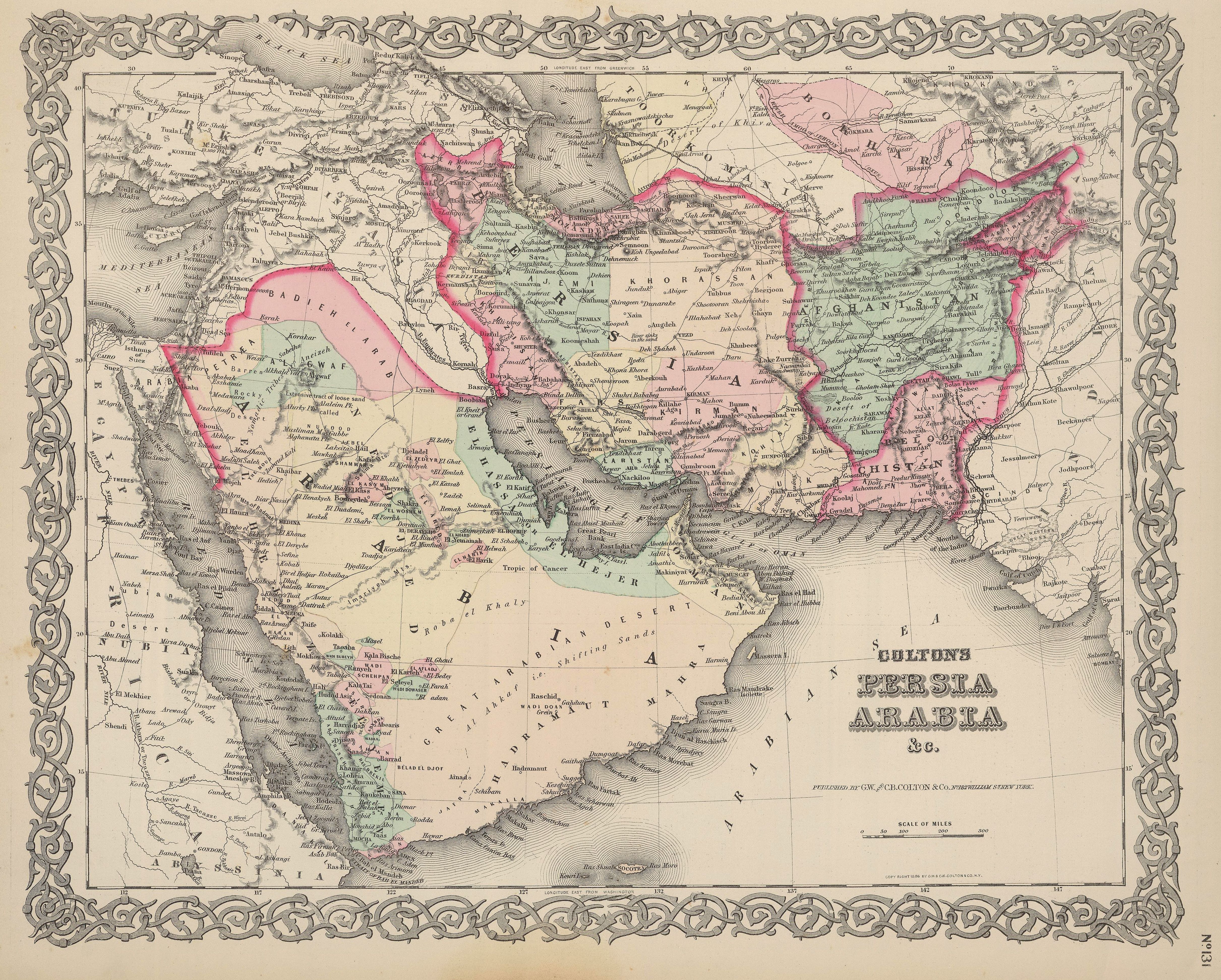
Colton's 1886 map of Persia and Arabia
