1712 map of the Land of Canaan, showing divisions among the twelve tribes of Israel
1712 map of the Land of Canaan, showing divisions among the twelve tribes of Israel - by Edward Wells
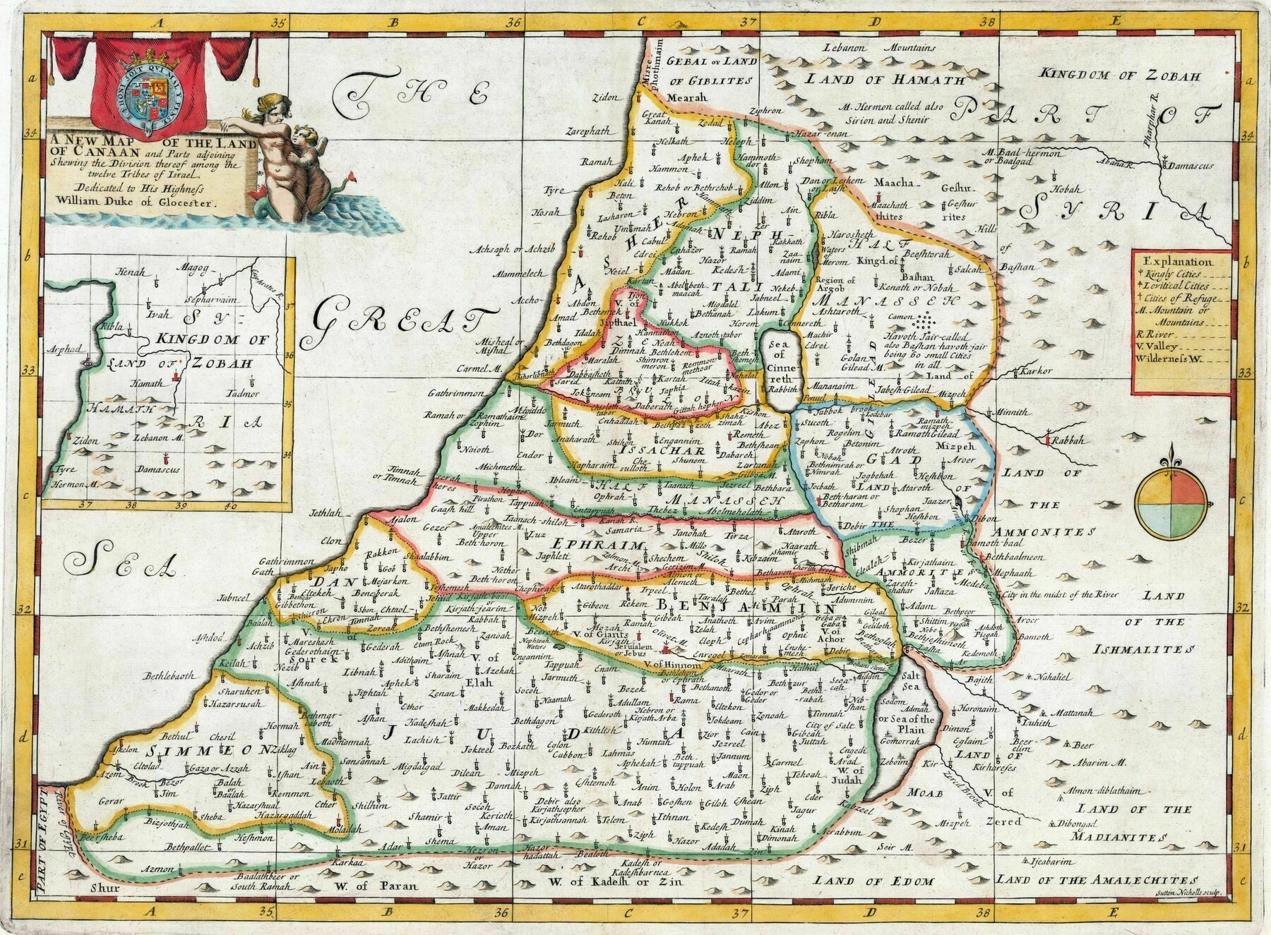

1712 map of the Land of Canaan, showing divisions among the twelve tribes of Israel - by Edward Wells

Geographical distribution of the main ethno-cultural communities in Israel and Palestine
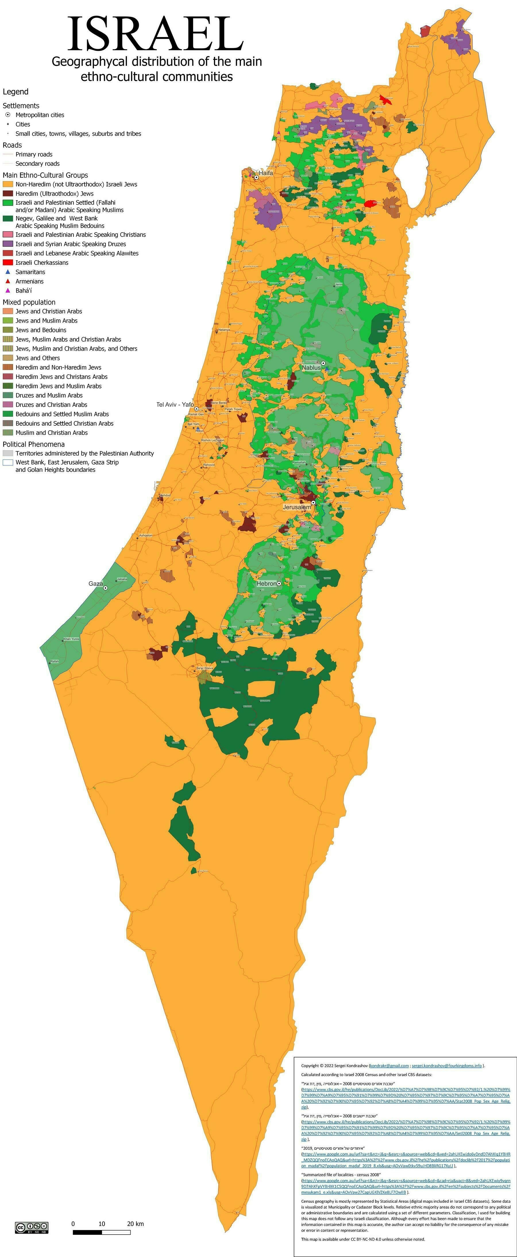
‘Man, Israel is tiny
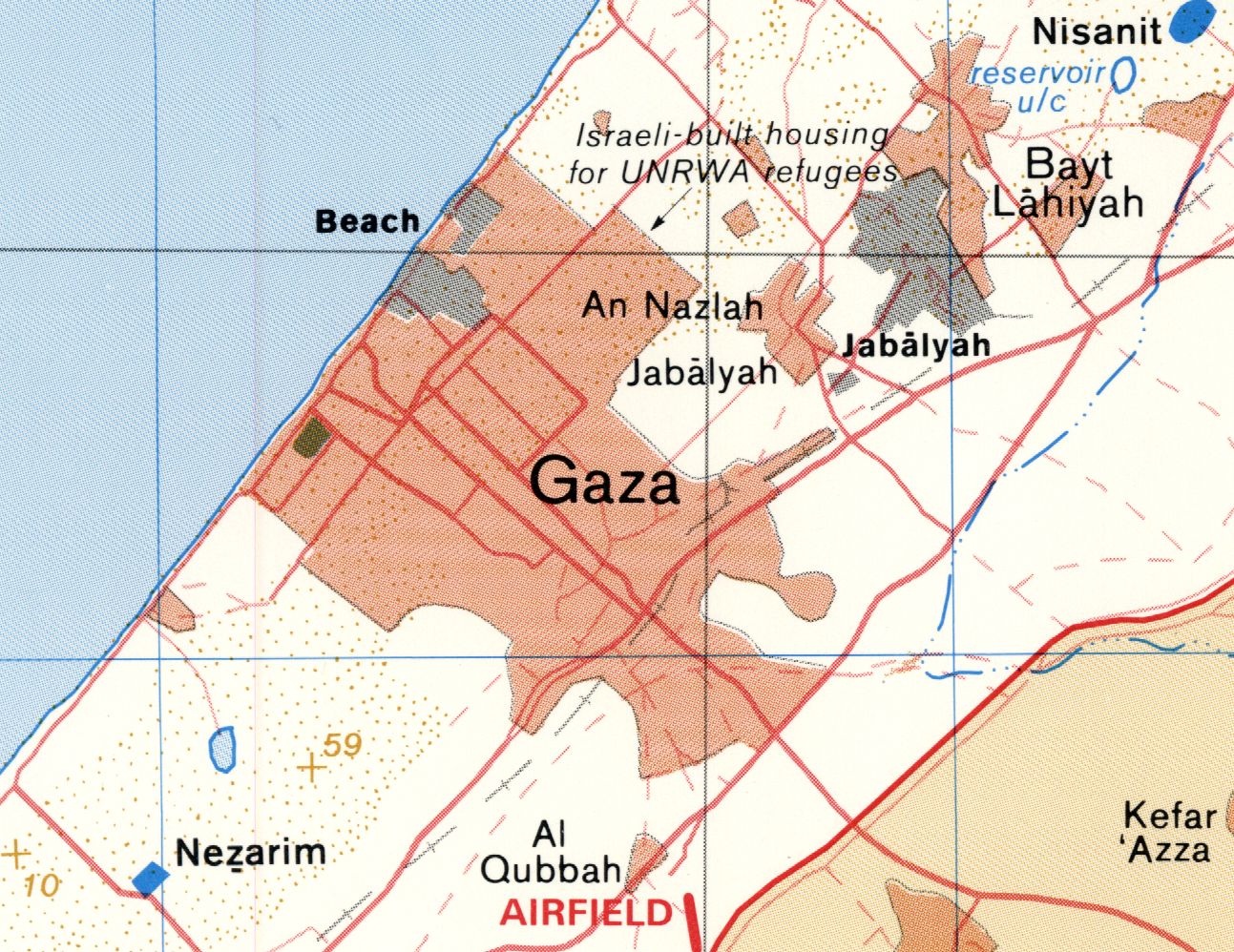
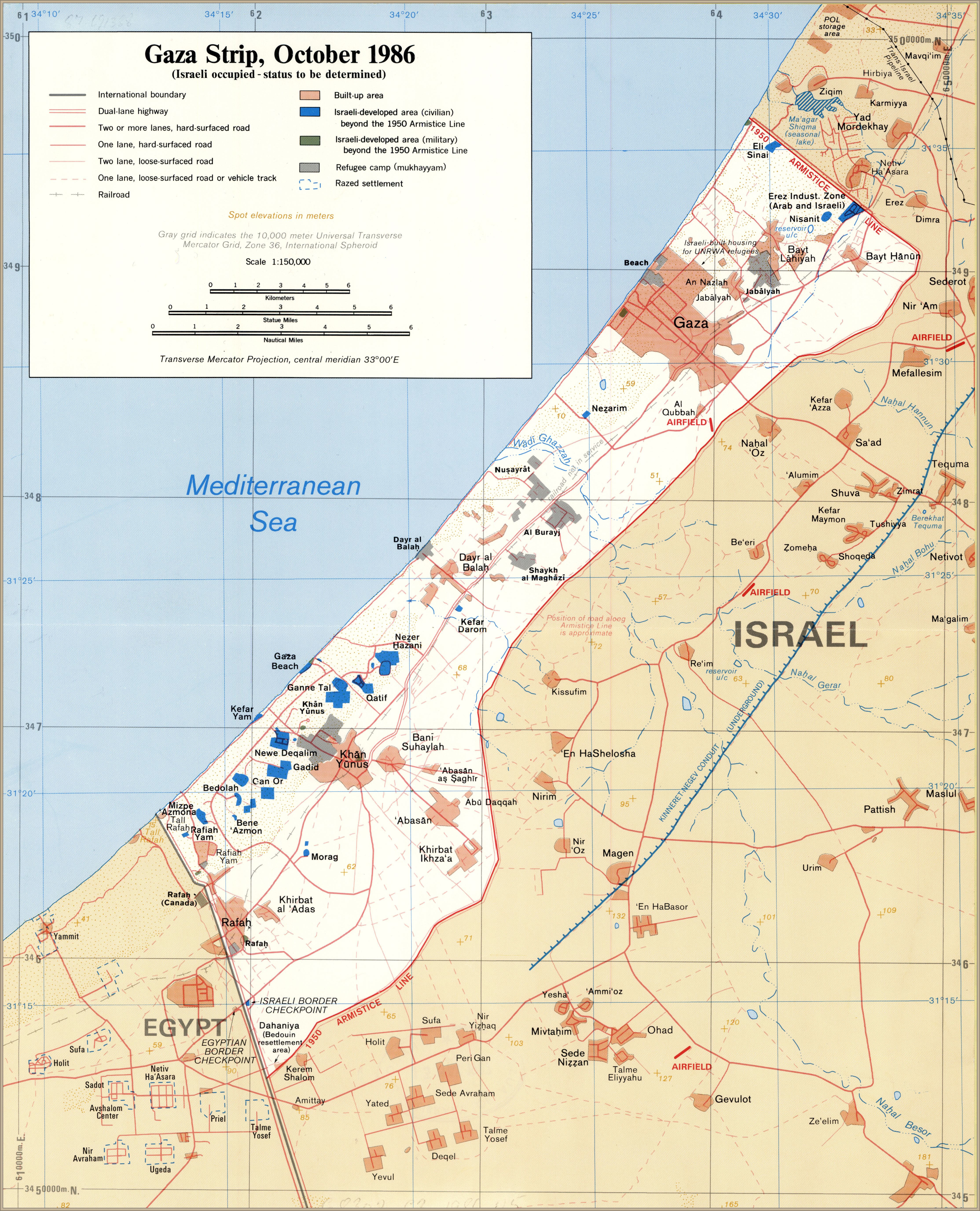
Really is. Gaza is about the size of Manhattan and the Bronx put together, which is real tiny’
1890 map of Palestine / compiled by George Armstrong and revised by Colonel Sir Charles W. Wilson and Major C. R. Conder
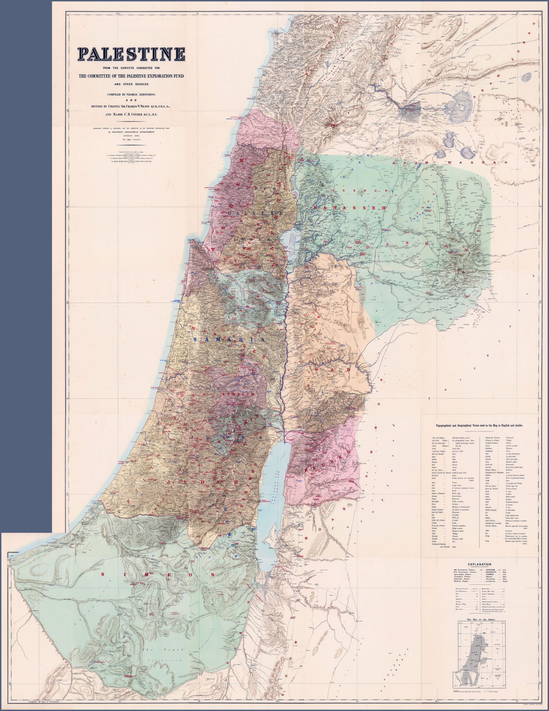
‘Wilson was quite a charectar, if you visit Jerusalem today you can still see Wilson’s arch, that he discovered’–valleyofdawn
Population of Palestine, 1944 - showing the proportion of Muslims, Jews, Christians, and Druze
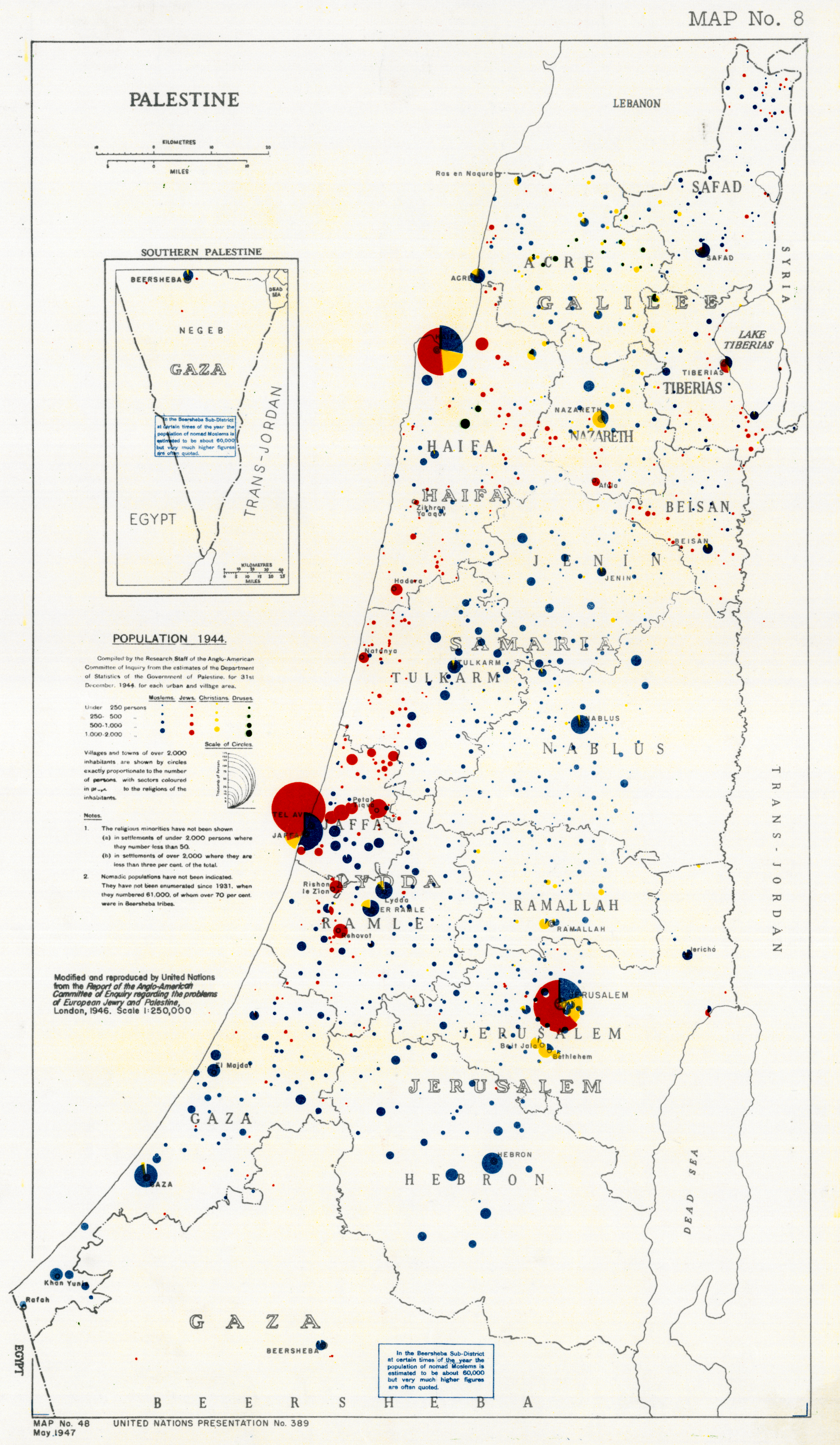
‘uhhhh, let’s go boys.
Who wants popcorn?‘–ventiSoyMatcha
