Satellite map of the Netherlands
Satellite map of the Netherlands
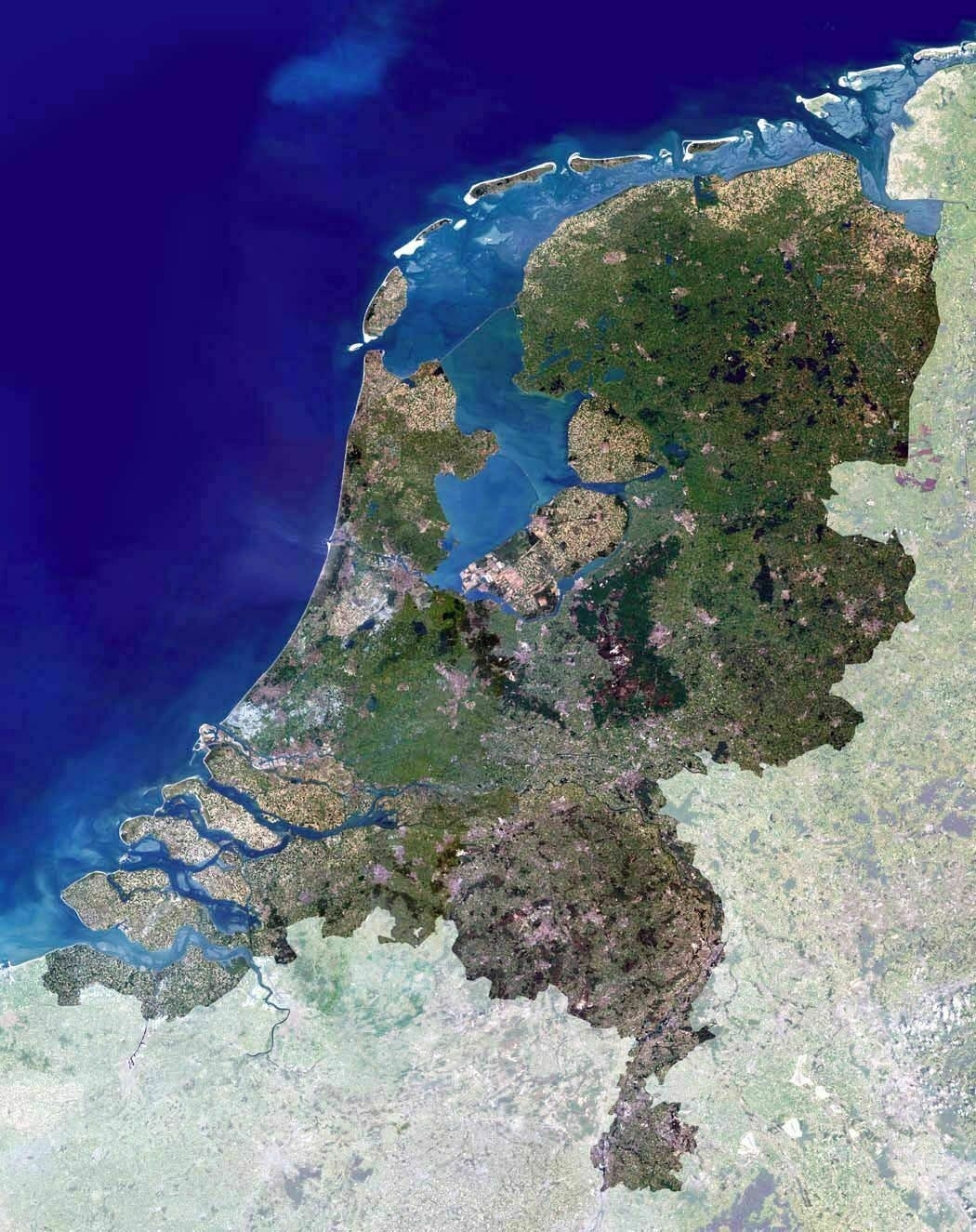
‘I see a lot of water here, dutchies. Start filling that up like the beavers you are
Actually we decided not to fill up the remaining water bodies because we have turned them into fresh lakes which we use for our drinkwater/irrigation supply in the dry summer months
Your country looks beautiful, compact and comfortable. I’d like to visit it one day’
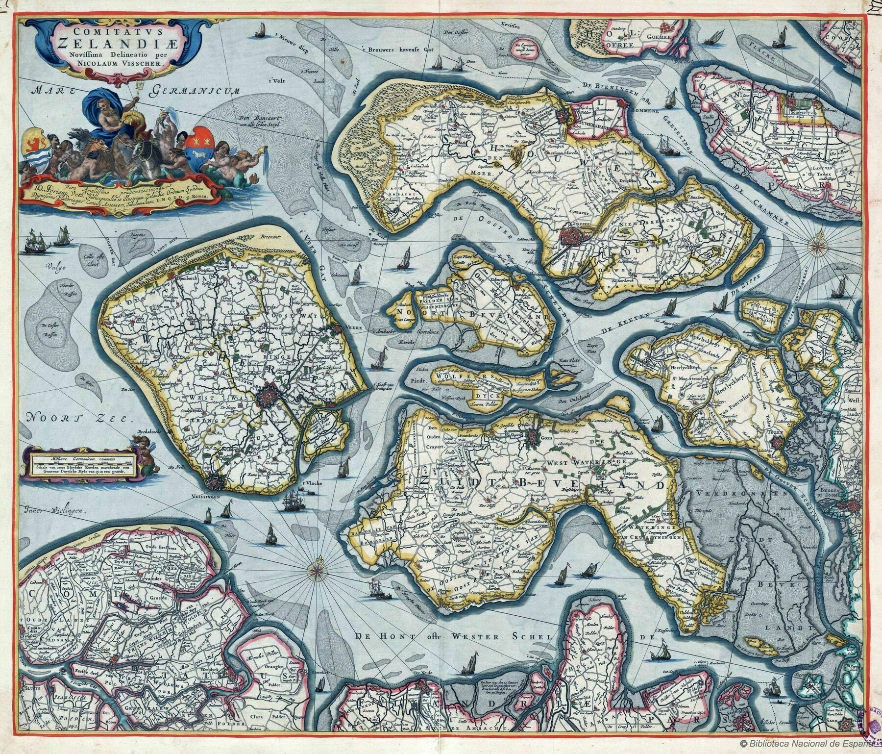
1650 Visscher map of Zeeland, Netherlands
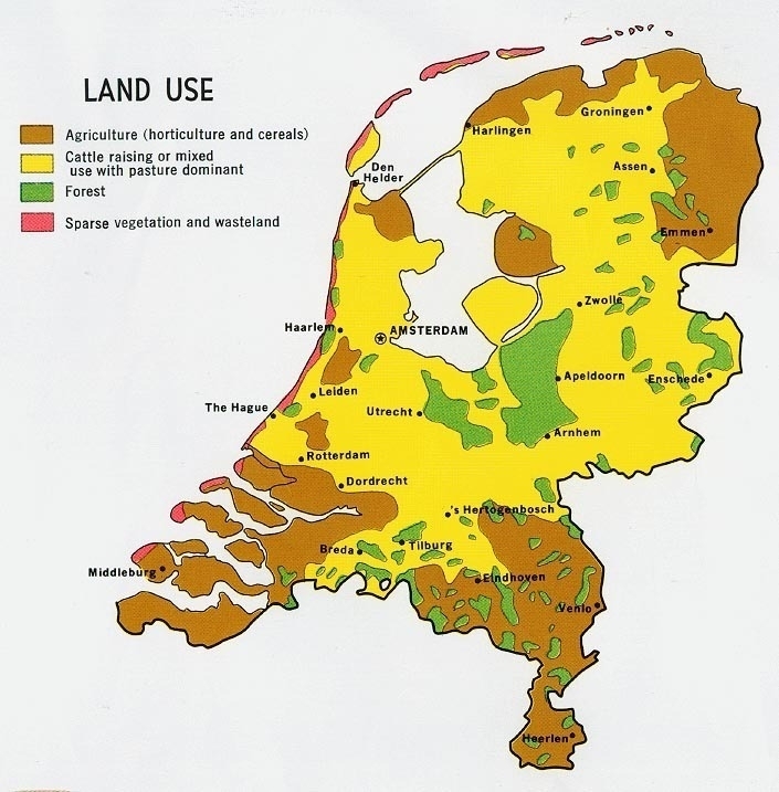
Netherlands - Land Use (1970)
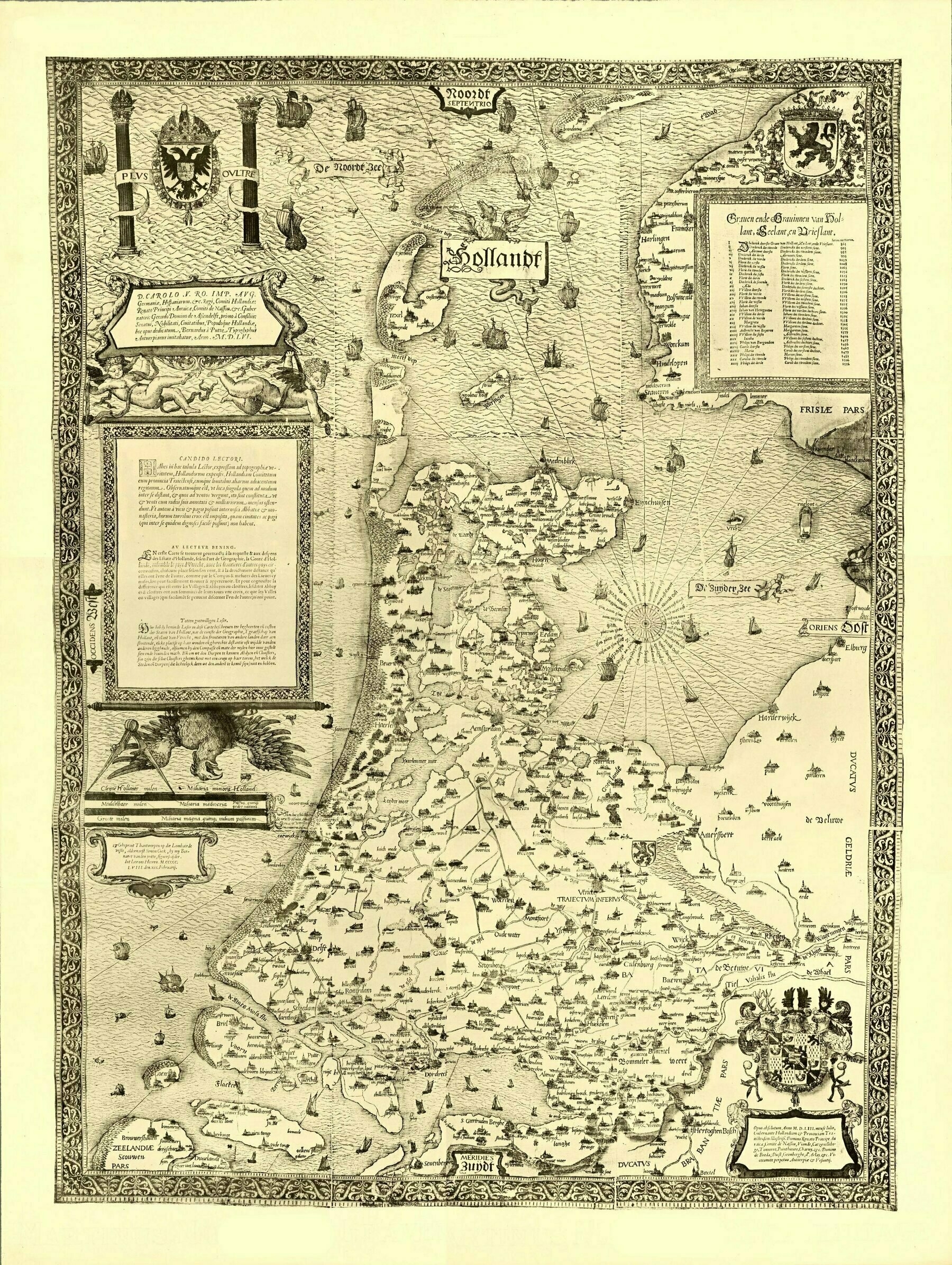
Map of Holland, The Netherlands 1558
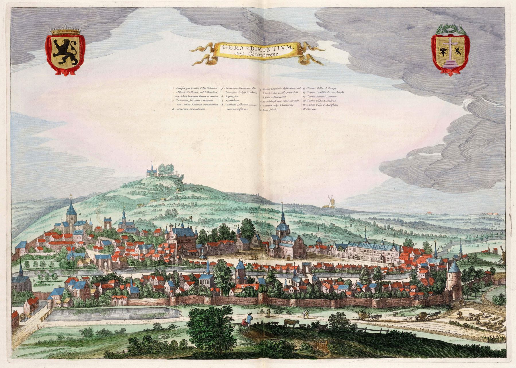
1649 map of Geraardsbergen, Belgium - by Joan Blaeu
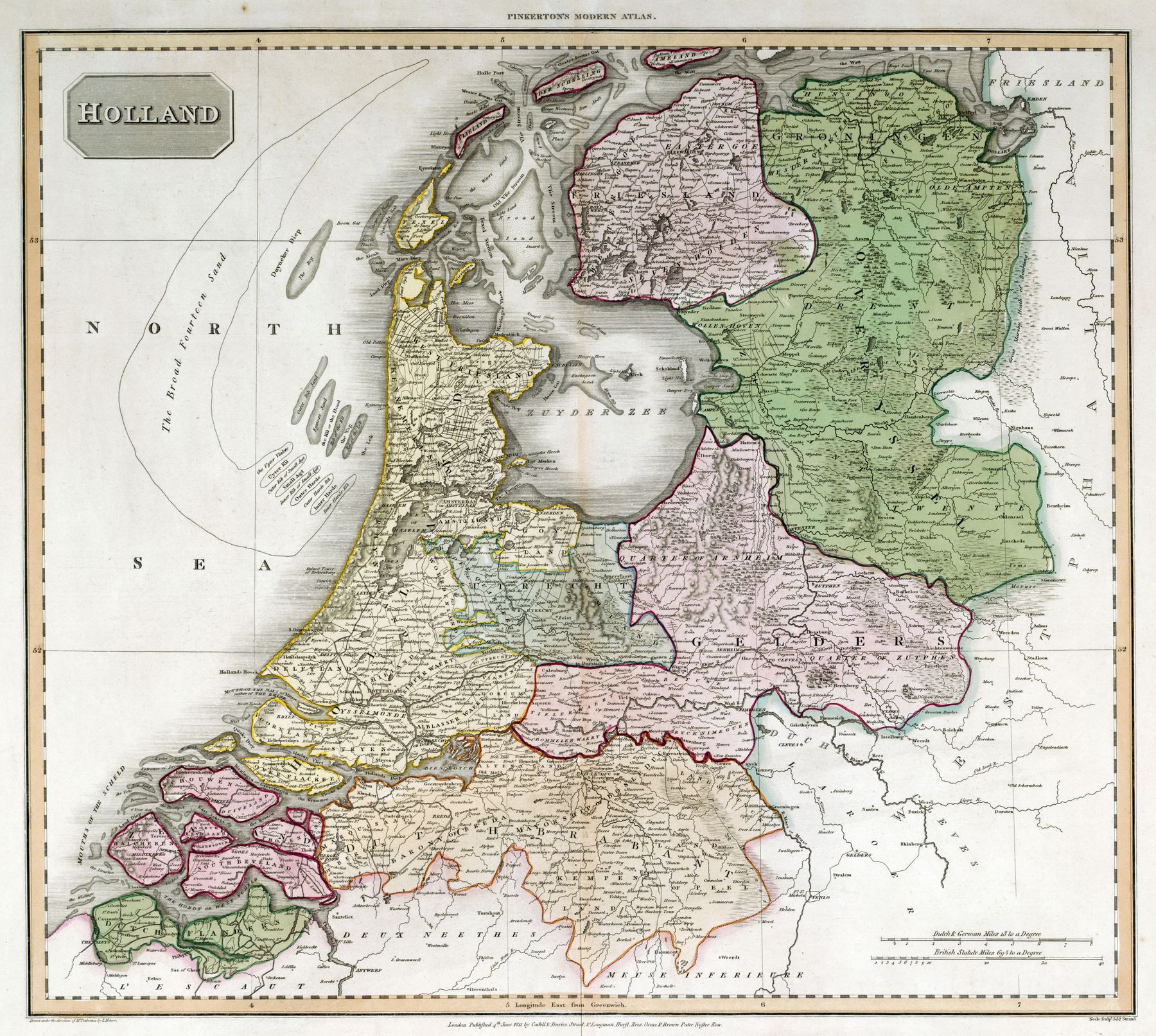
1811 map of the Netherlands
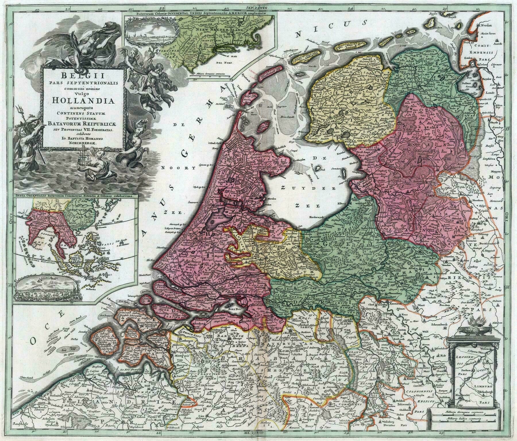
1619 map of Belgium and Holland
1619 map of Belgium and Holland
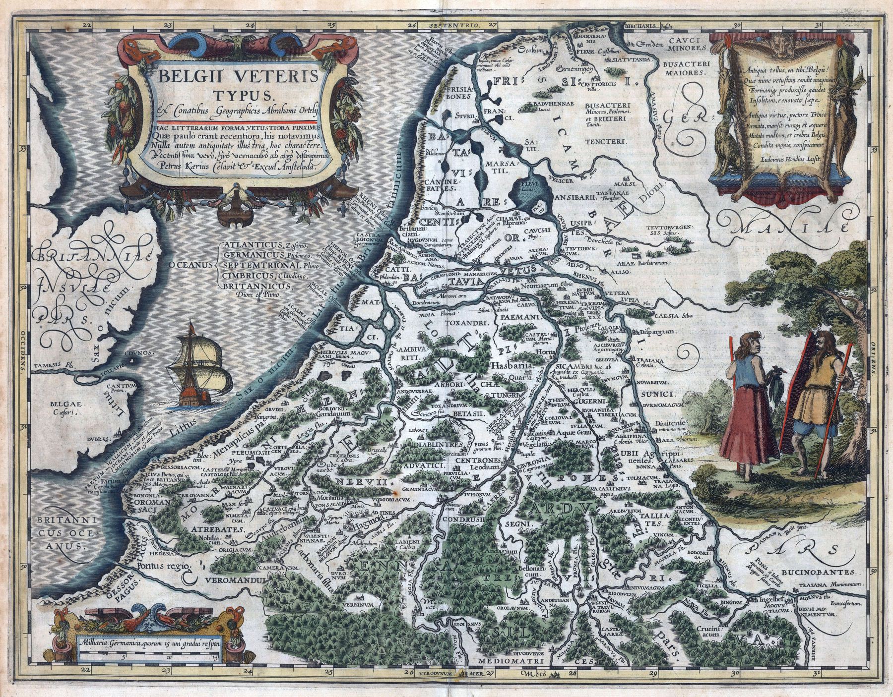
‘This must be a historical map from the Roman period made in 1619 imo’–ArchdukeFranzRIP
1571 map of the Netherlands - by Abraham Ortelius
1571 map of the Netherlands - by Abraham Ortelius
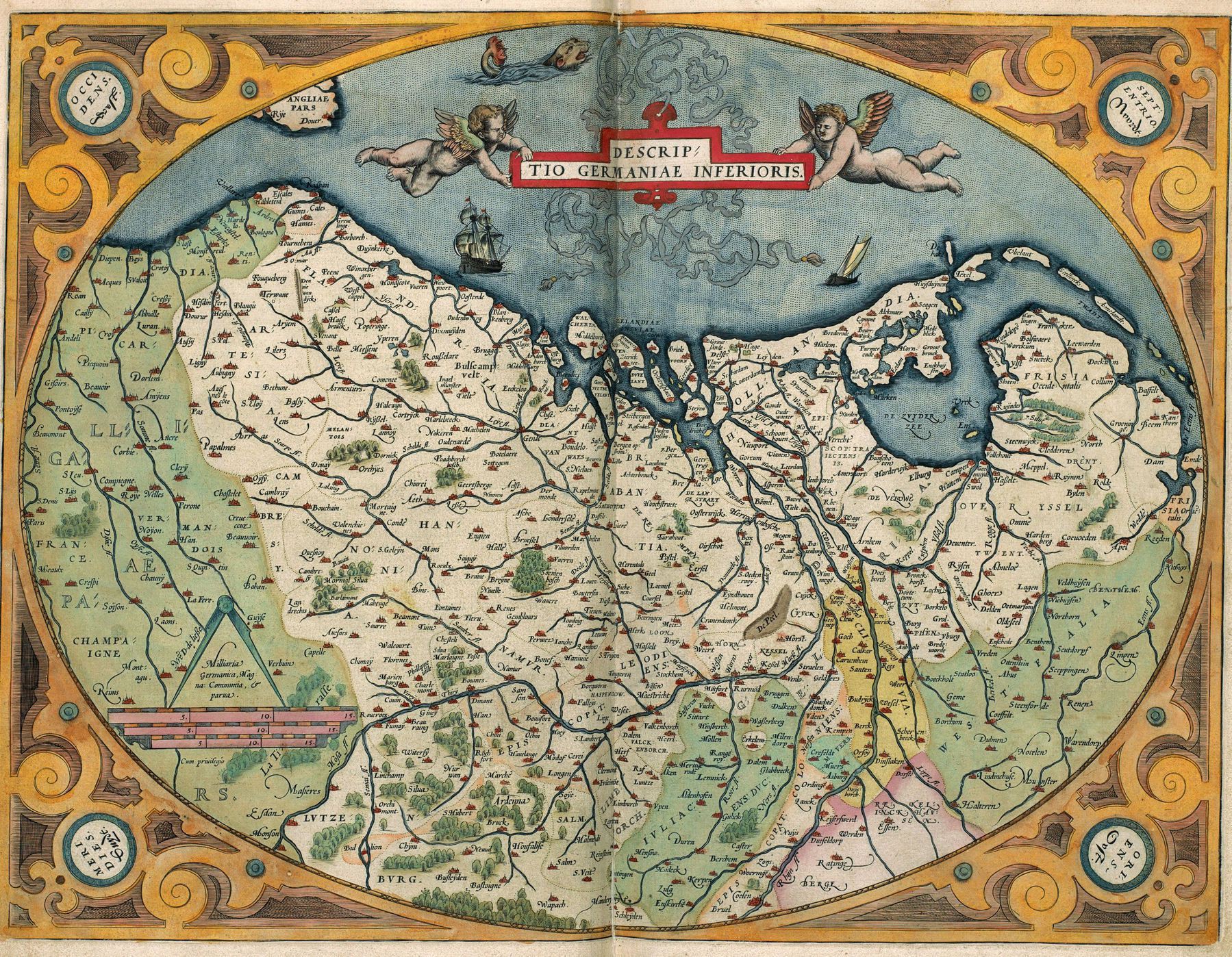
‘Sjonnie! Hij leg op ze kant!!’–wkvdz
Map of Groningen, Netherlands, in the 17th century
Map of Groningen, Netherlands, in the 17th century
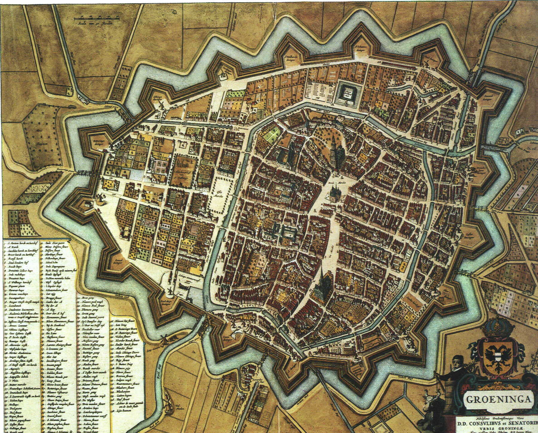
“Low countries had the best city planners, engineers and architects of the 17th century. They reclaimed half their landmass from the ocean at a time when people still fought with swords”–hevnervals
Concentration of Belgians in the Netherlands and Dutchmen in Belgium per municipality
Concentration of Belgians in the Netherlands and Dutchmen in Belgium per municipality
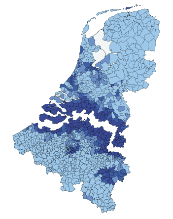
“What’s the difference between a Belgian and a Dutchmen???
(hehehe this is a joke hehehe)”
1606 map of Holland - by Gerard Mercator
1606 map of Holland - by Gerard Mercator
[5770 × 4240]
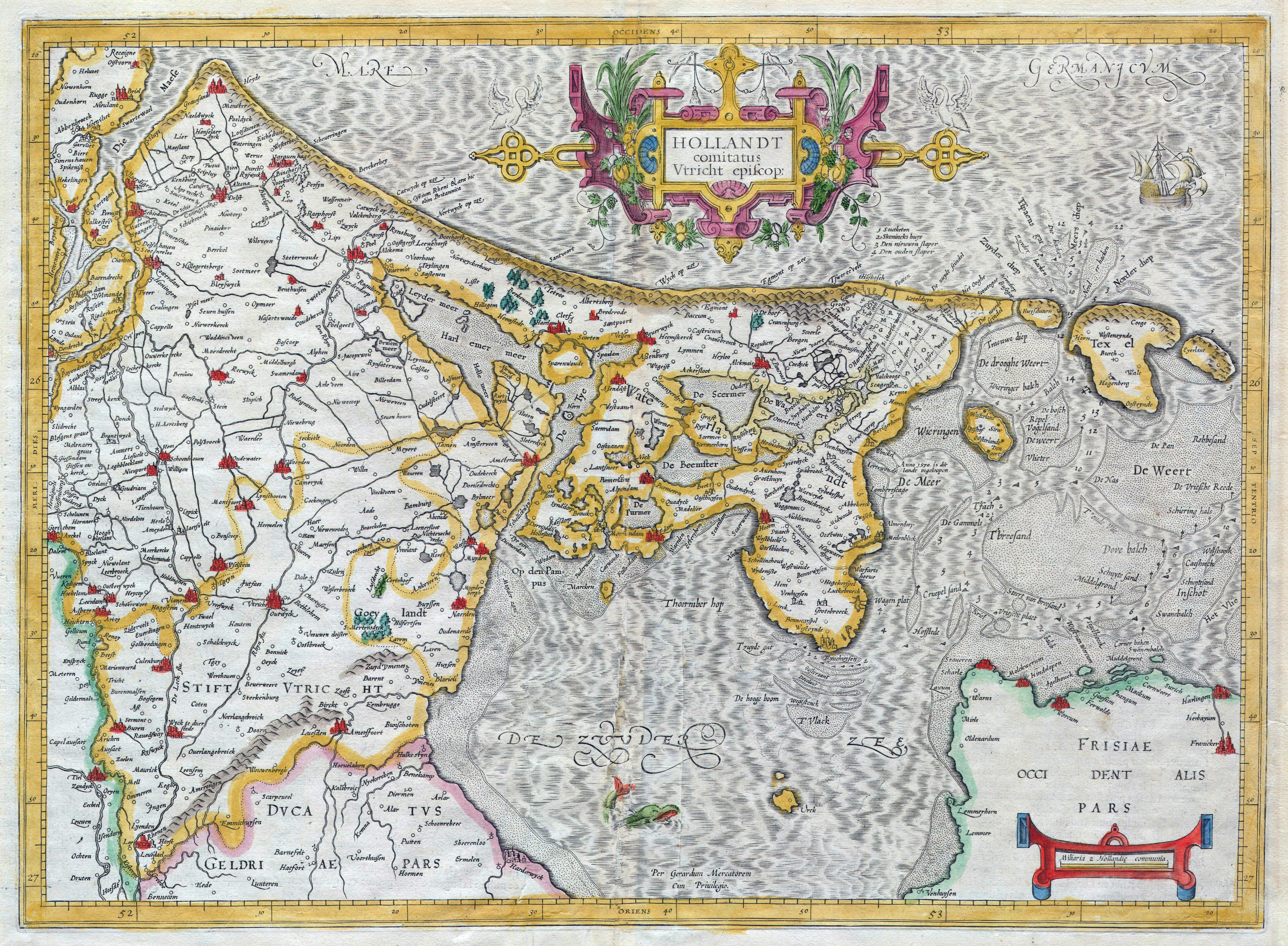
“So much land just waiting to be reclaimed”–hahahitsagiraffe
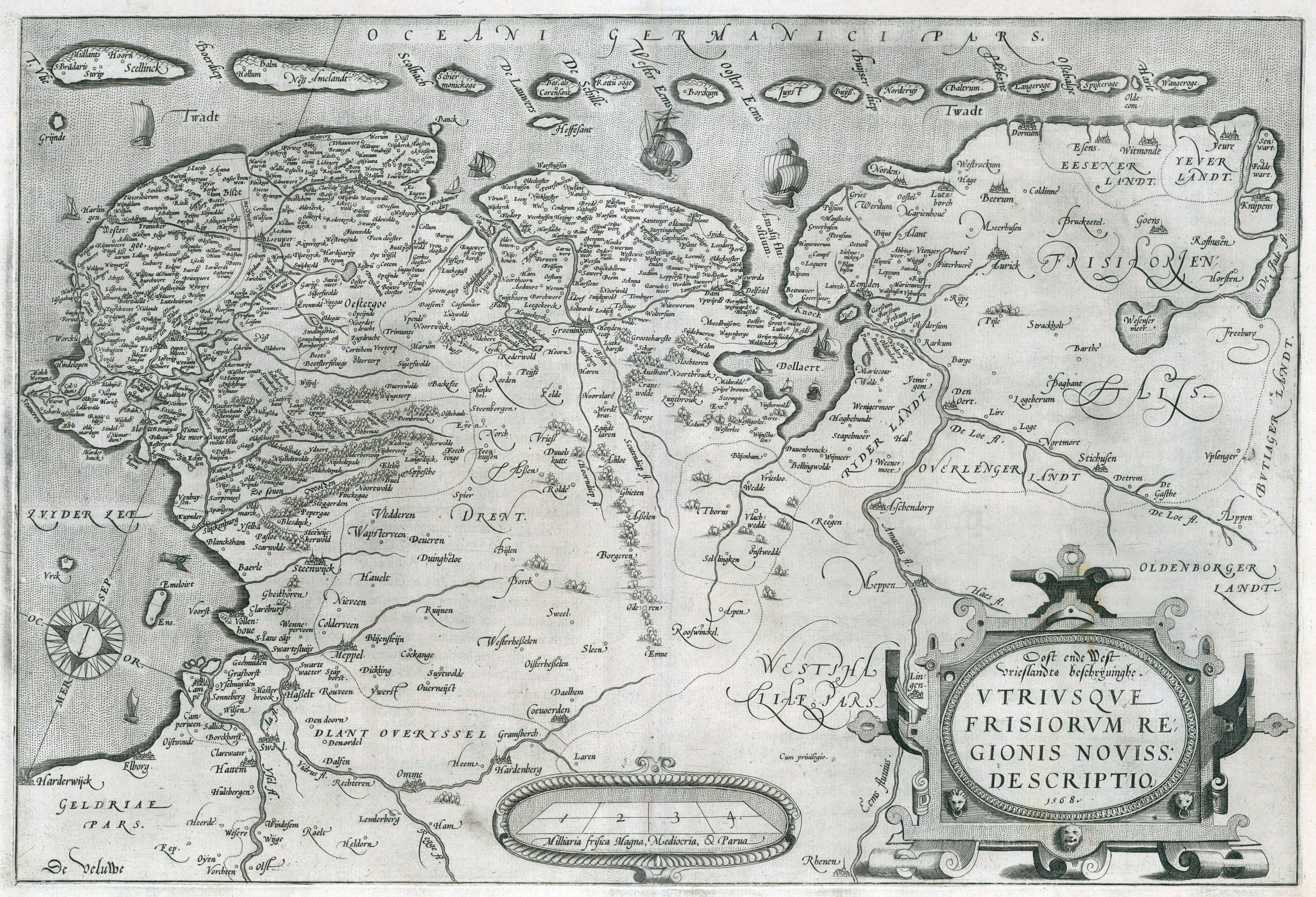
1568 map of East and West Friesland - by Abraham Ortelius
1568 map of East and West Friesland - by Abraham Ortelius
[8837 x 5682]
Map with the age of the buildings of Amsterdam
Map with the age of the buildings of Amsterdam

“That is a really cool map”–JeanBonJovi
Where are the woods in The Netherlands?
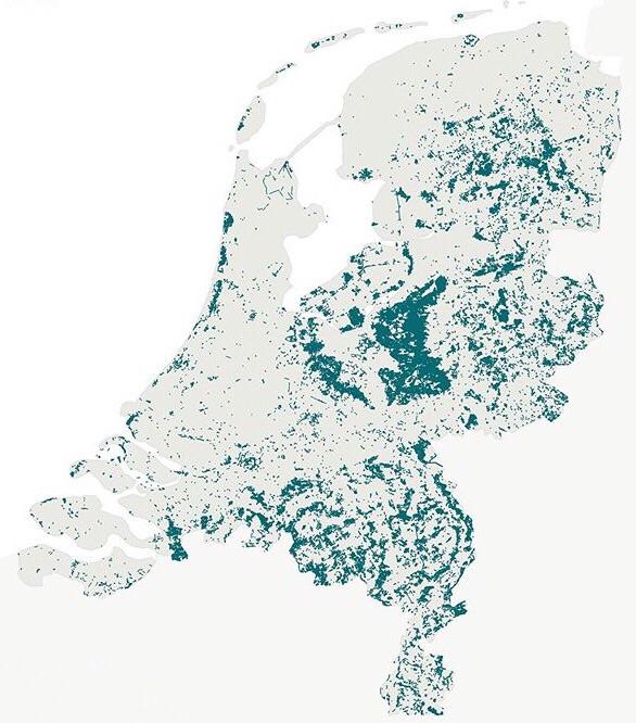
“note that a lot of non-urban areas in the west are polders and thus there are less woods. because frankly you won’t make a polder to put trees on it”–erebo04
1732 map of the Netherlands - by Herman Moll
[6096 × 3697]
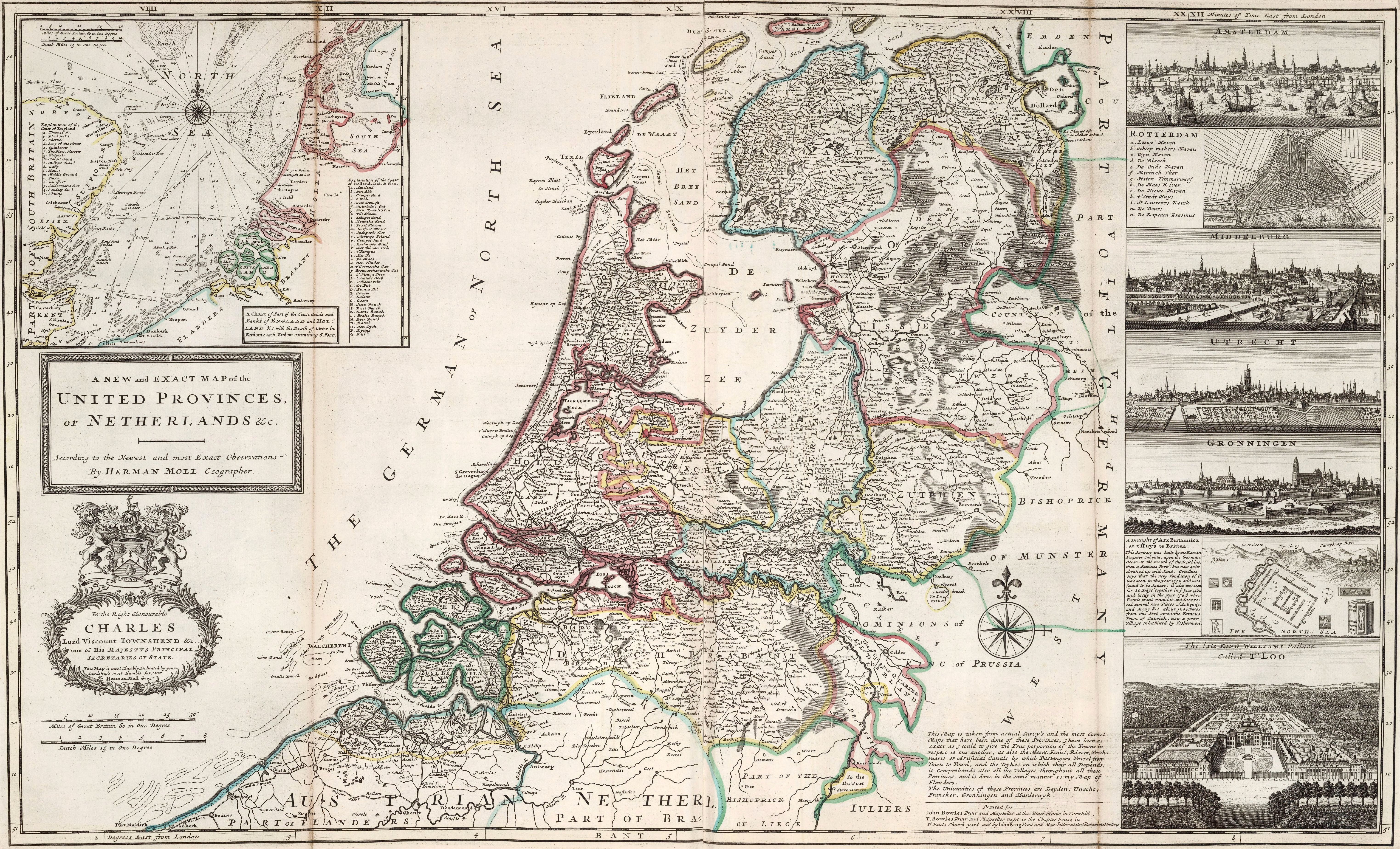
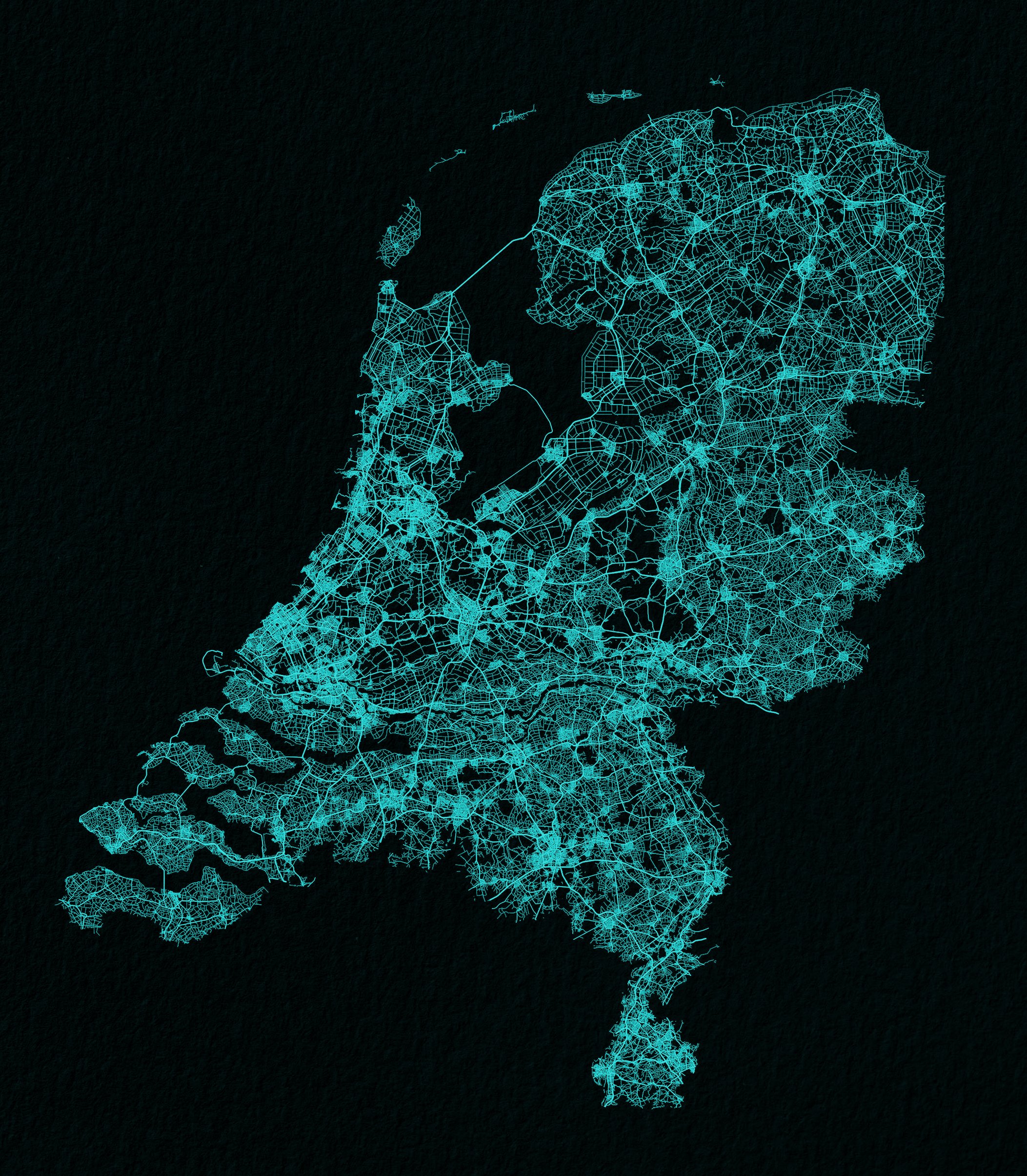
The Netherlands drawn up by roads
Leo Belgicus (1617)
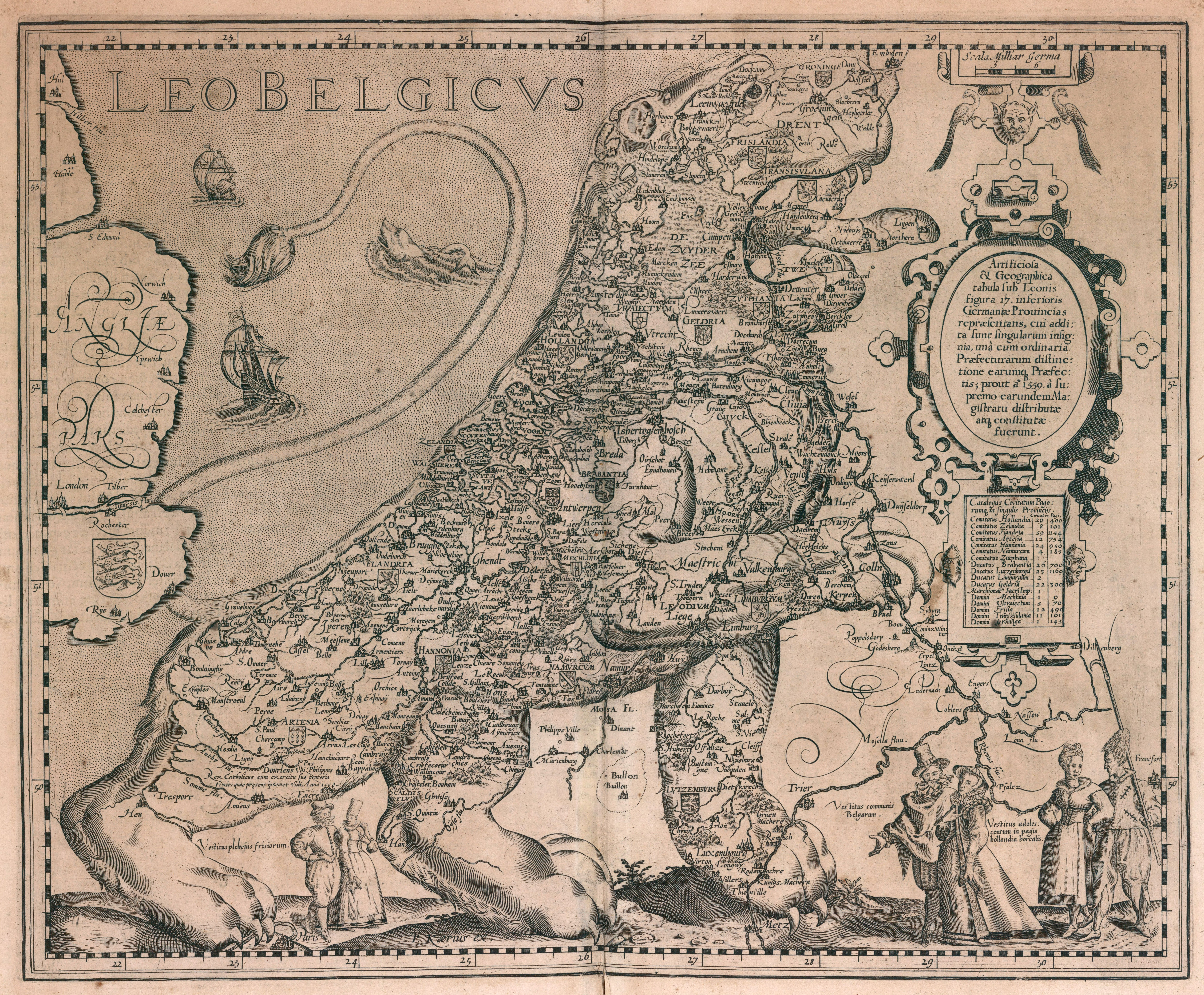
The Low Counries in the form of a Lion
1714 map of the provinces of the Netherlands

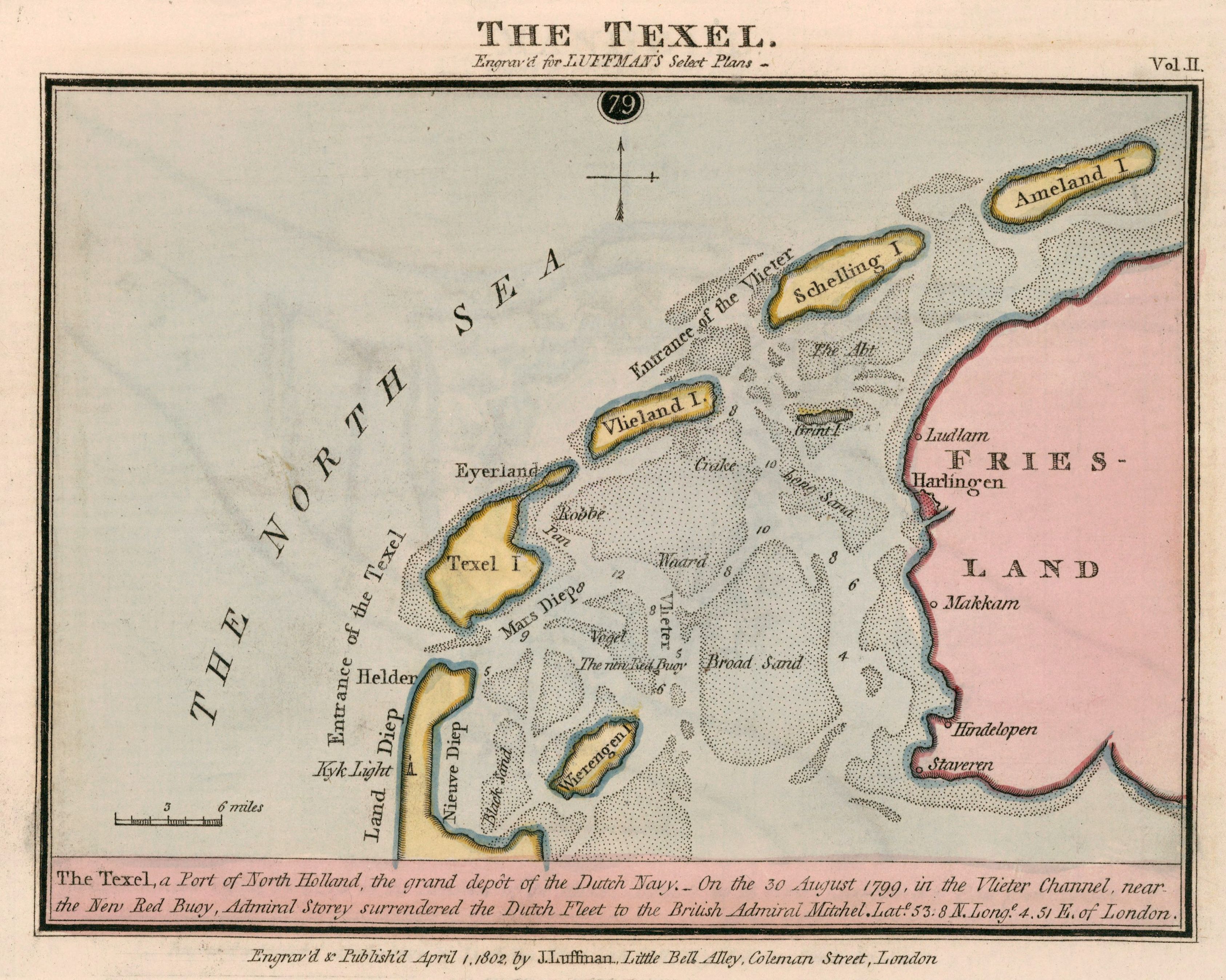
1802 map of The Texel Channel, North Holland - by John Luffman
Almost nobody lives here in The Netherlands
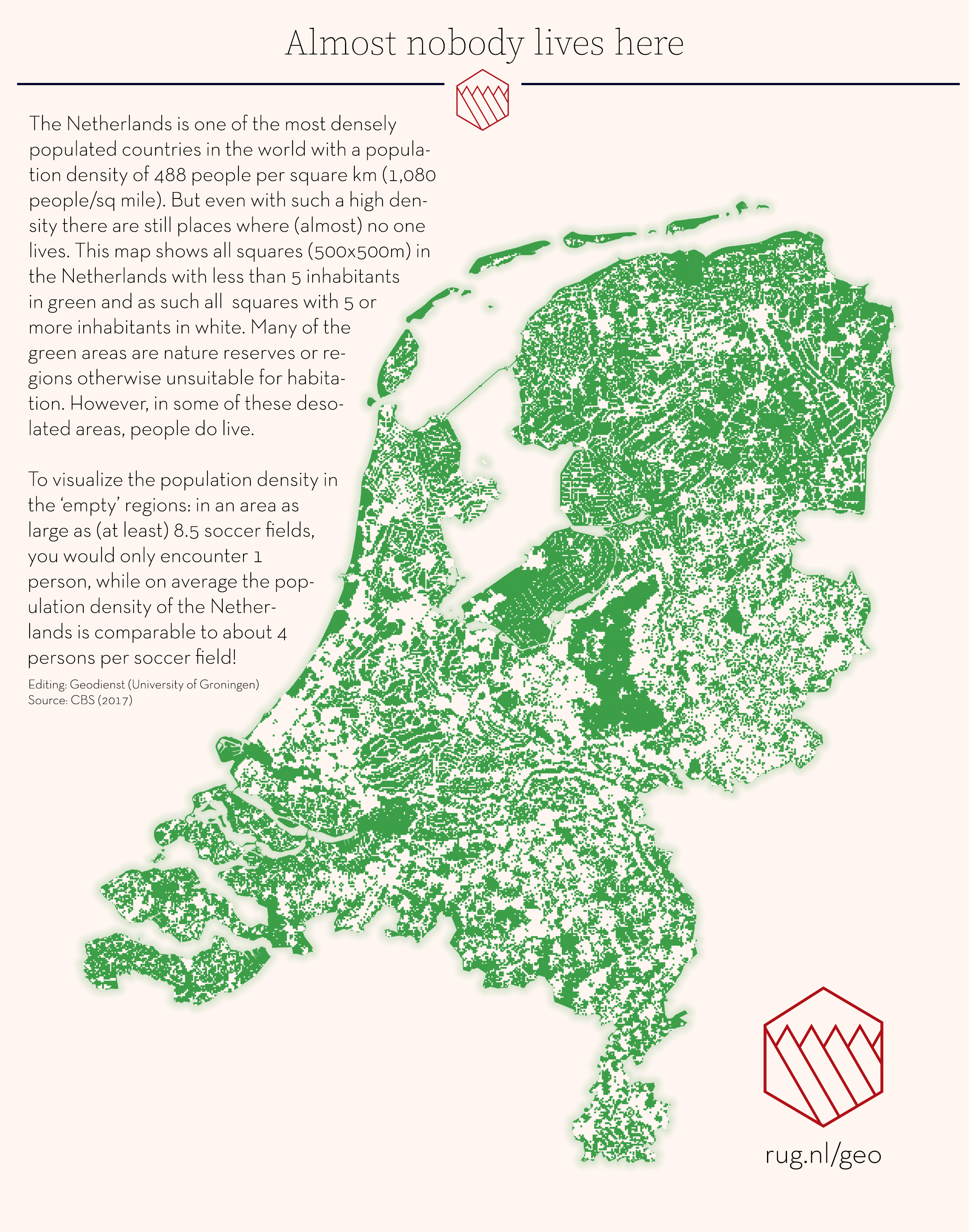
“The Netherlands is one of the most densely populated countries in the world”–ThucydidesOfAthens
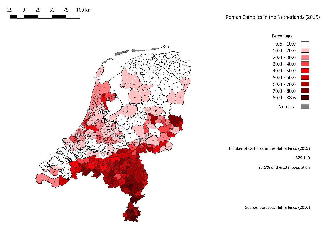
Catholics in the Netherlands by municipality
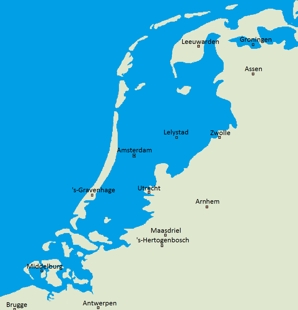
The Netherlands compared to sea level
Forum Hadriani, the northernmost Roman town in continental Europe, modern-day Voorburg in the Netherlands
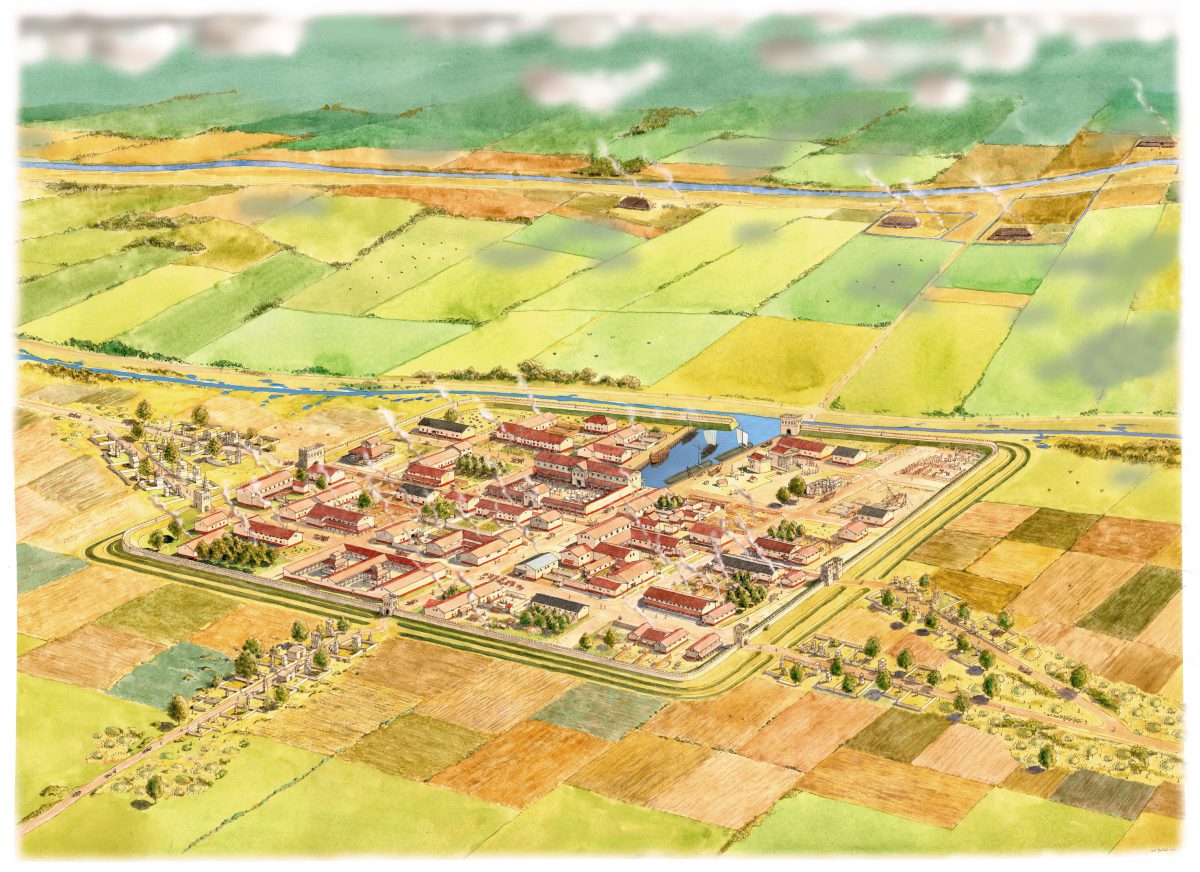
“The Roman town, which may have been founded immediately after the Batavian revolt of 69-70, was originally called Municipium Cananefatium, “the town of the Cananefates”“–wildeastmofo

