1878 ethnographic map of European Russia
1878 ethnographic map of European Russia - by Aleksandr Fyodorovich Rittikh
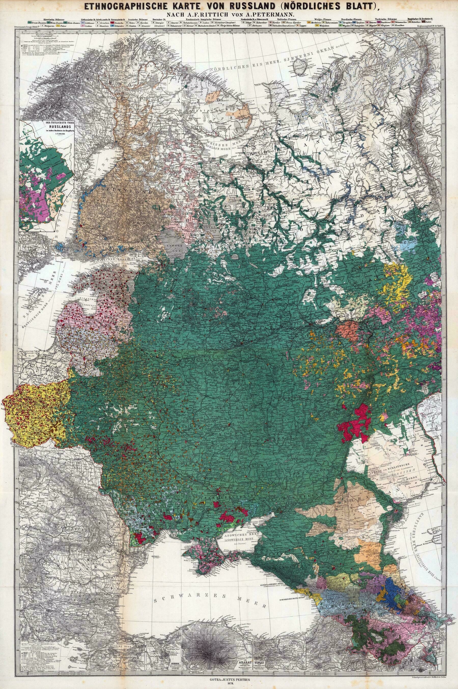
‘I recognize Volga Germans, Bessarabia Germans and Crimean Germans
Germans were a significant minority in almost all parts of Eastern Europe’
1834 map of Russia and Poland - by John Arrowsmith
1834 map of Russia and Poland - by John Arrowsmith
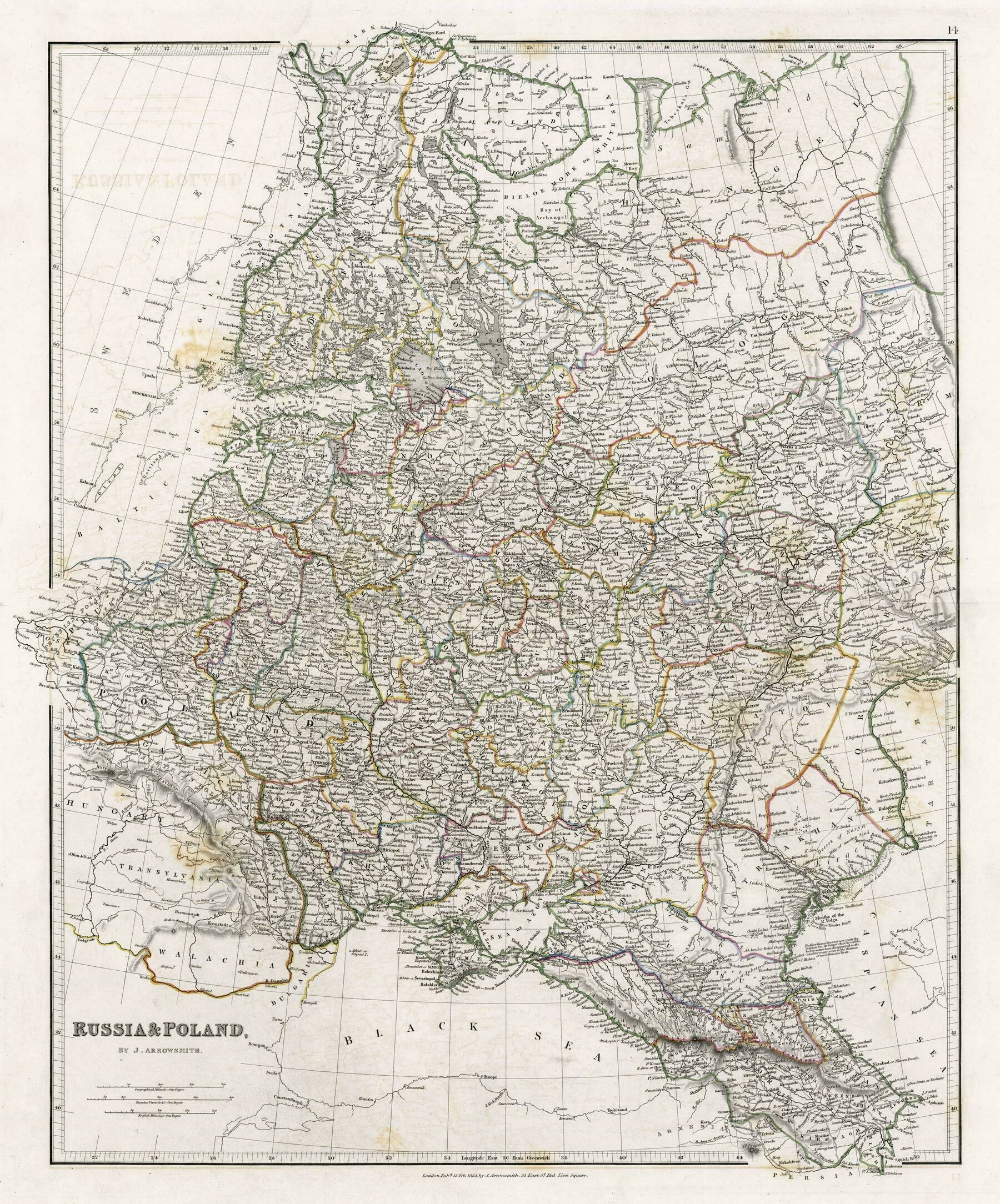
‘Interesting seeing Nowy Targ as Neumarkt
Also worth noting that Poland wasn’t entirely under Tsarist rule, but also Habsburg and German states’
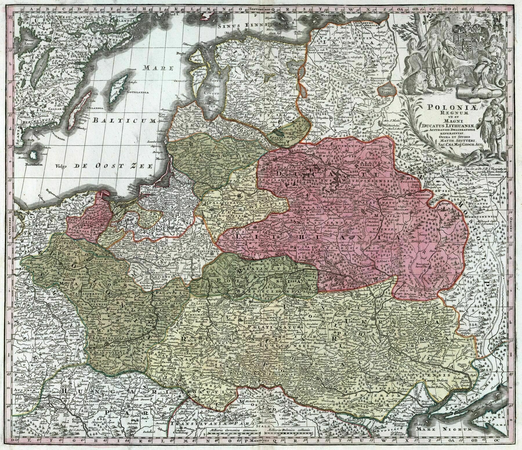
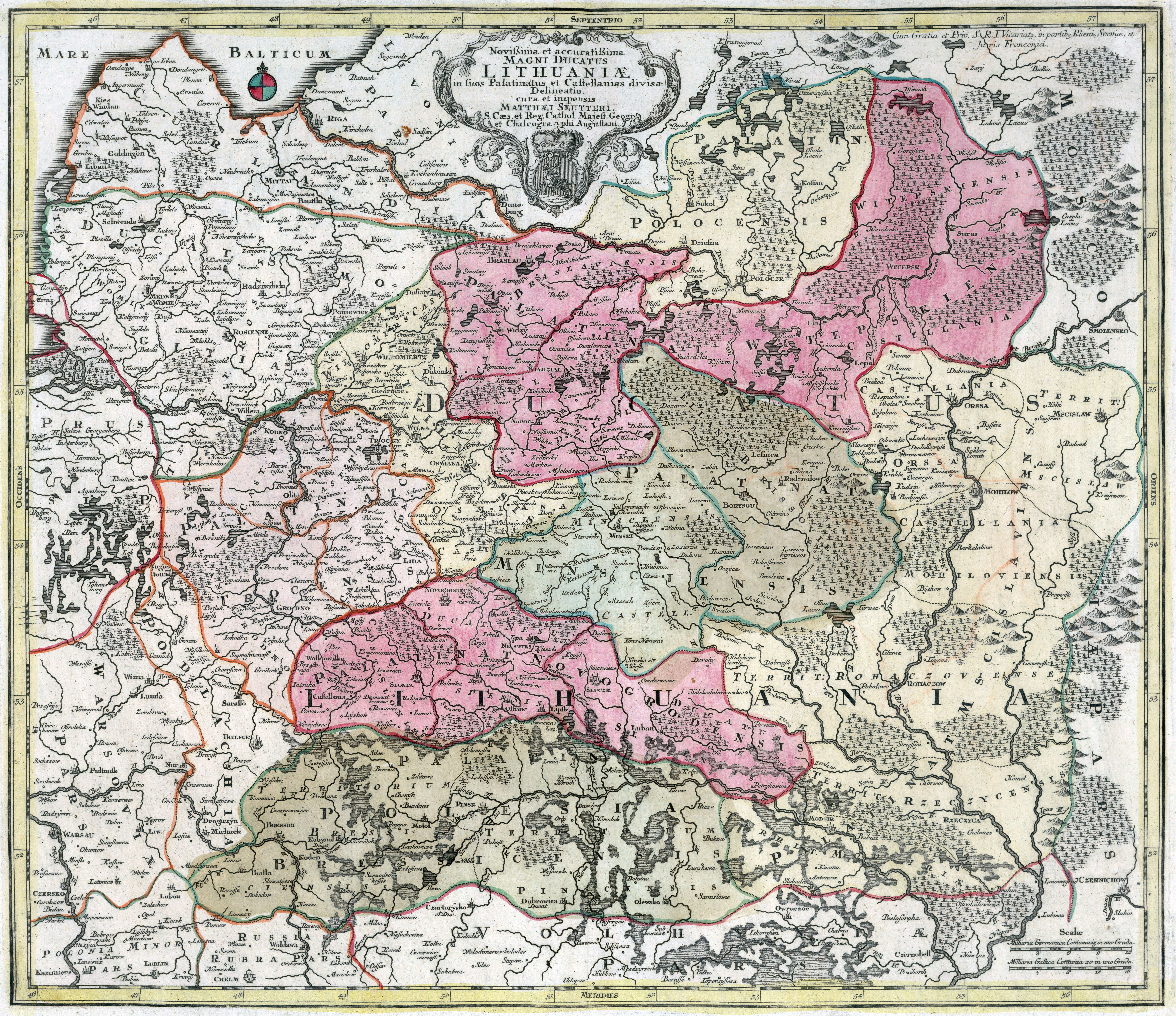
1788 map of Lithuania
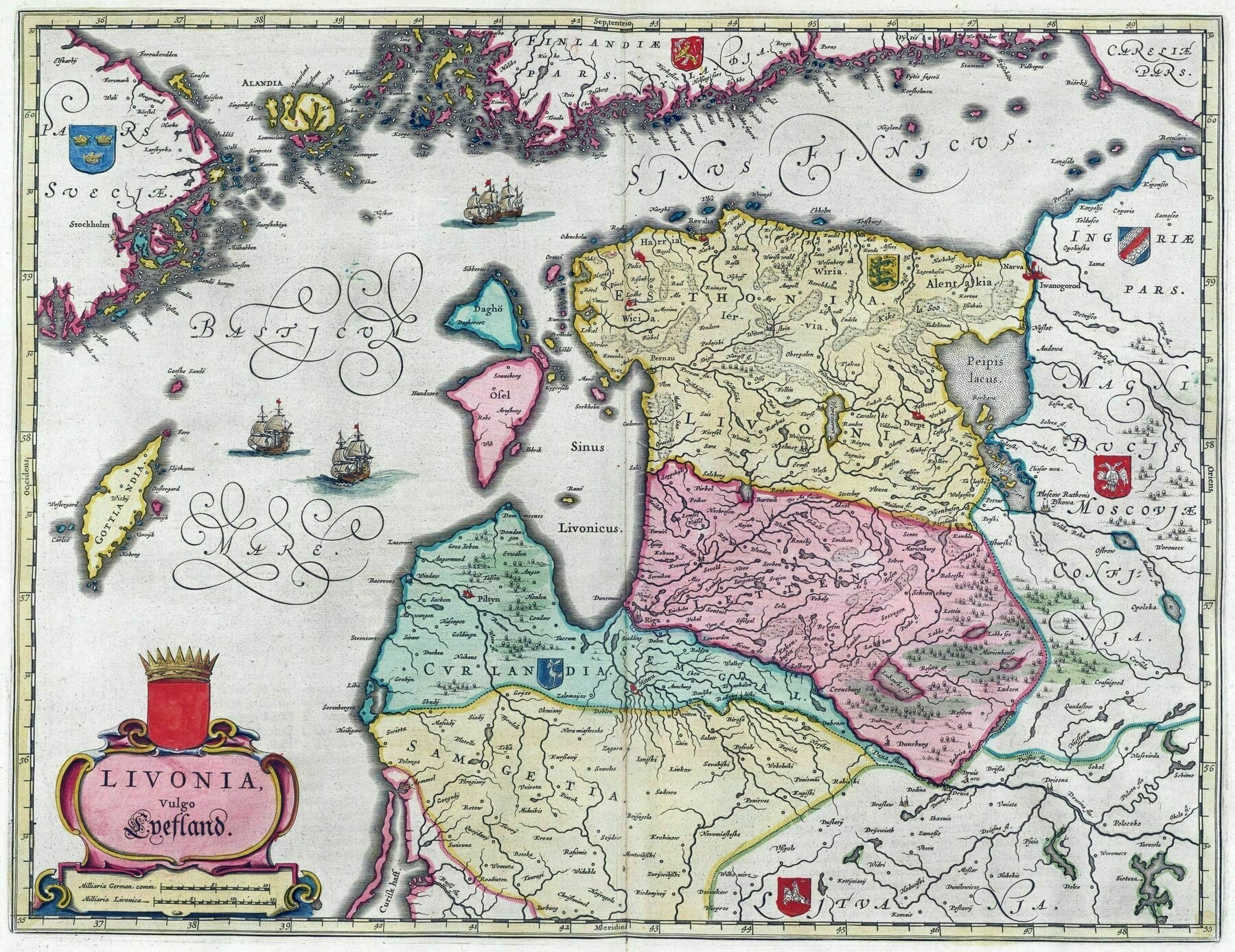
1665 map of the Baltic countries (Lithuania, Latvia, Estonia)
River basins of Scandinavia and the Baltic states
River basins of Scandinavia and the Baltic states
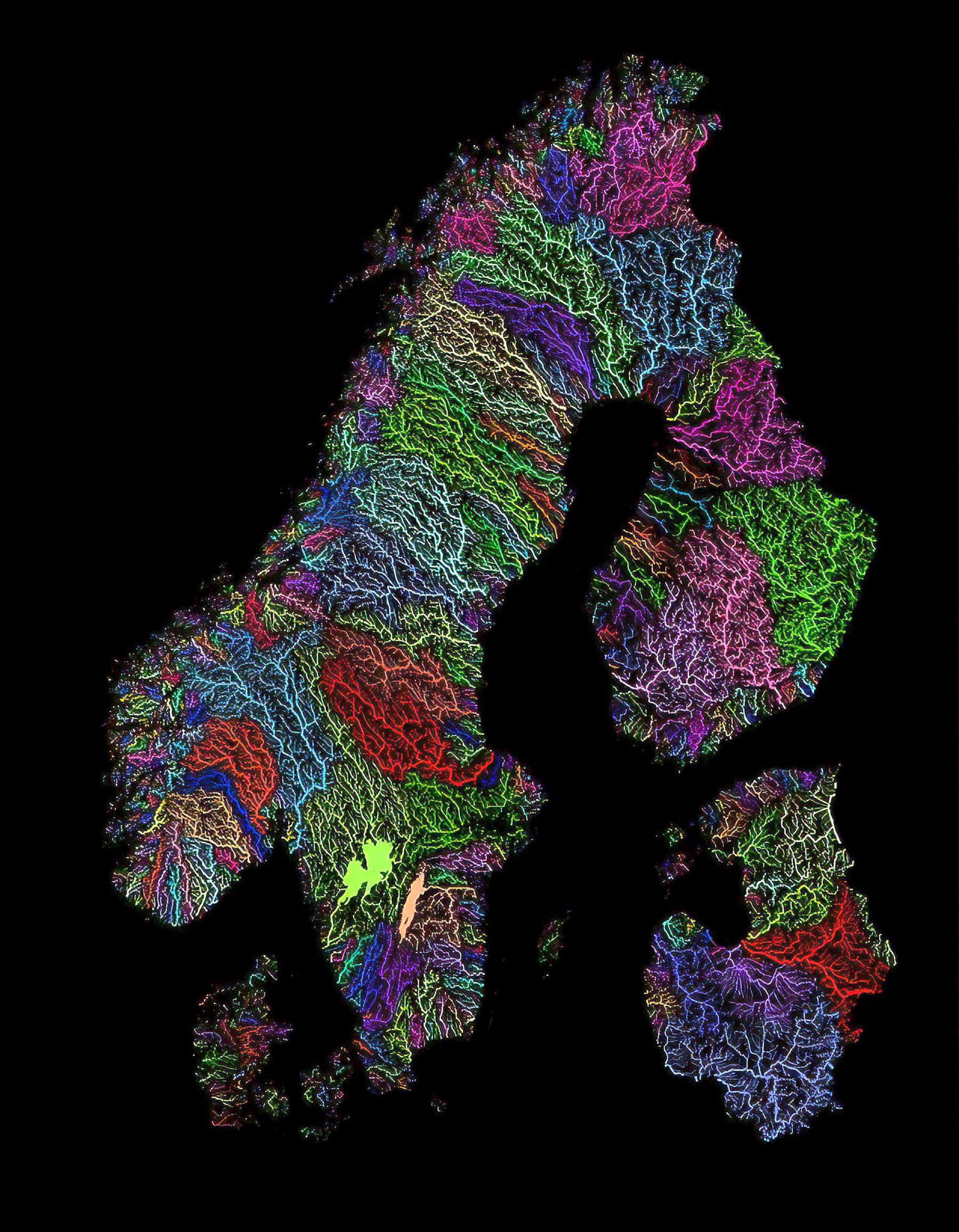
‘Out of Nordics, Sweden has the largest lake (Vänern; 5545km²) and Finland the second-largest (Saimaa, 4400km²). These are the largest and second-largest lakes in Europe (excluding Russia’s Ladoga; 18130km² and Onega 9700km²). Finland used to have half Ladoga before WW2. The Caspian Sea (371000km²) is in Asia and is the largest lake in the world … This guy lakes’
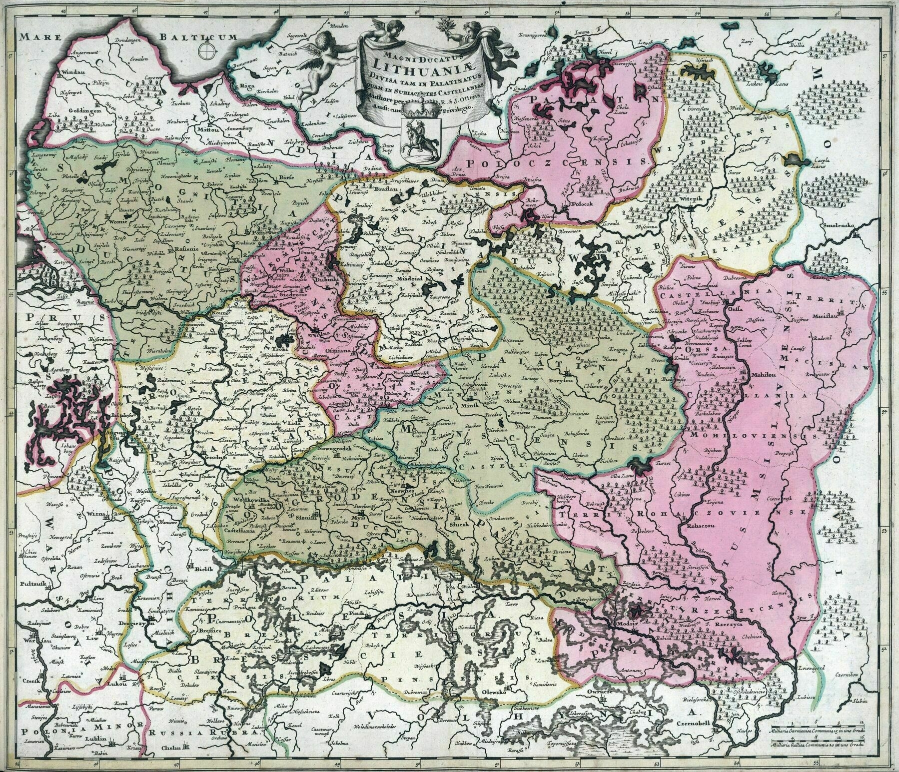
1735 map of Lithuania
[9232 × 7978]
The Population of the Baltic States 1935
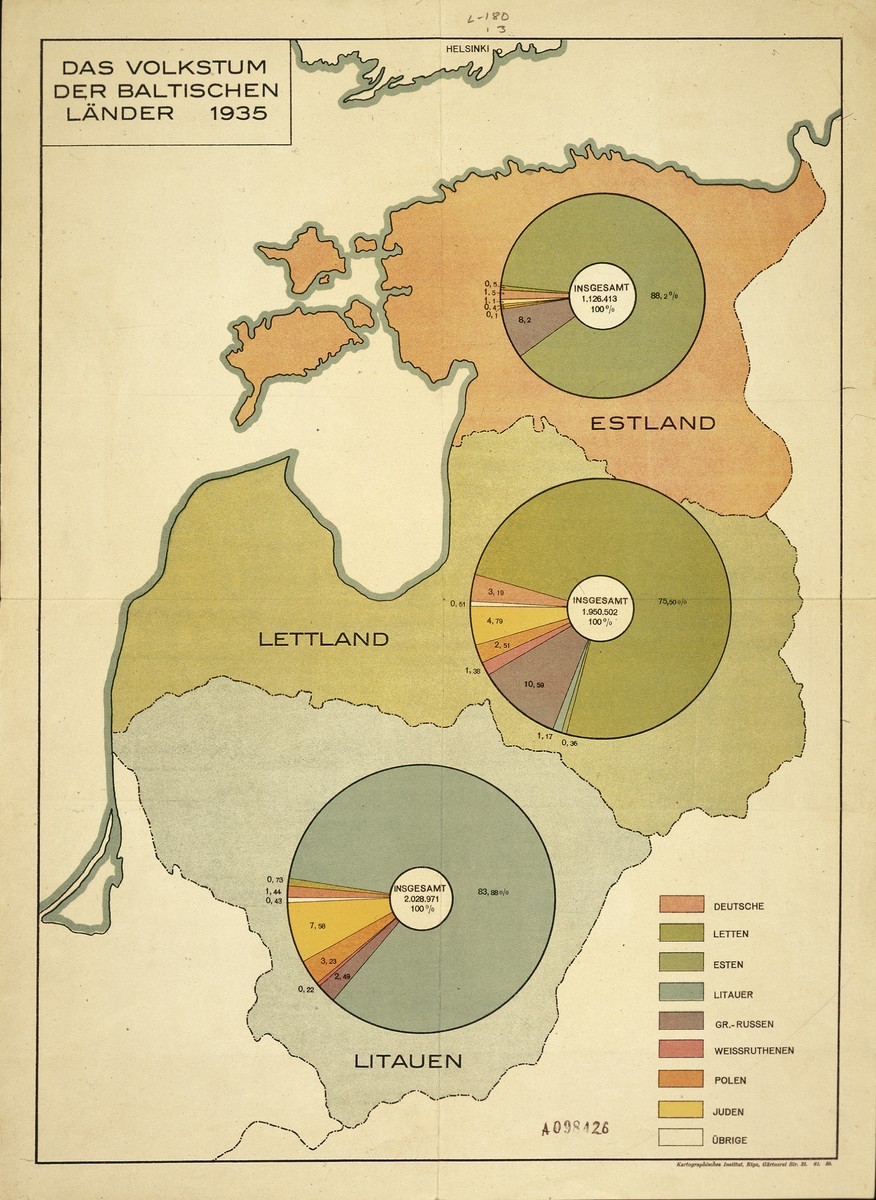
“A pie chart indicating the populations of Estonia, Latvia and Lithuania by ethnic group, that accompanied the report of SS-Brigadier General Stahlecker to the Reich Security Main Office, Berlin”–onikishov
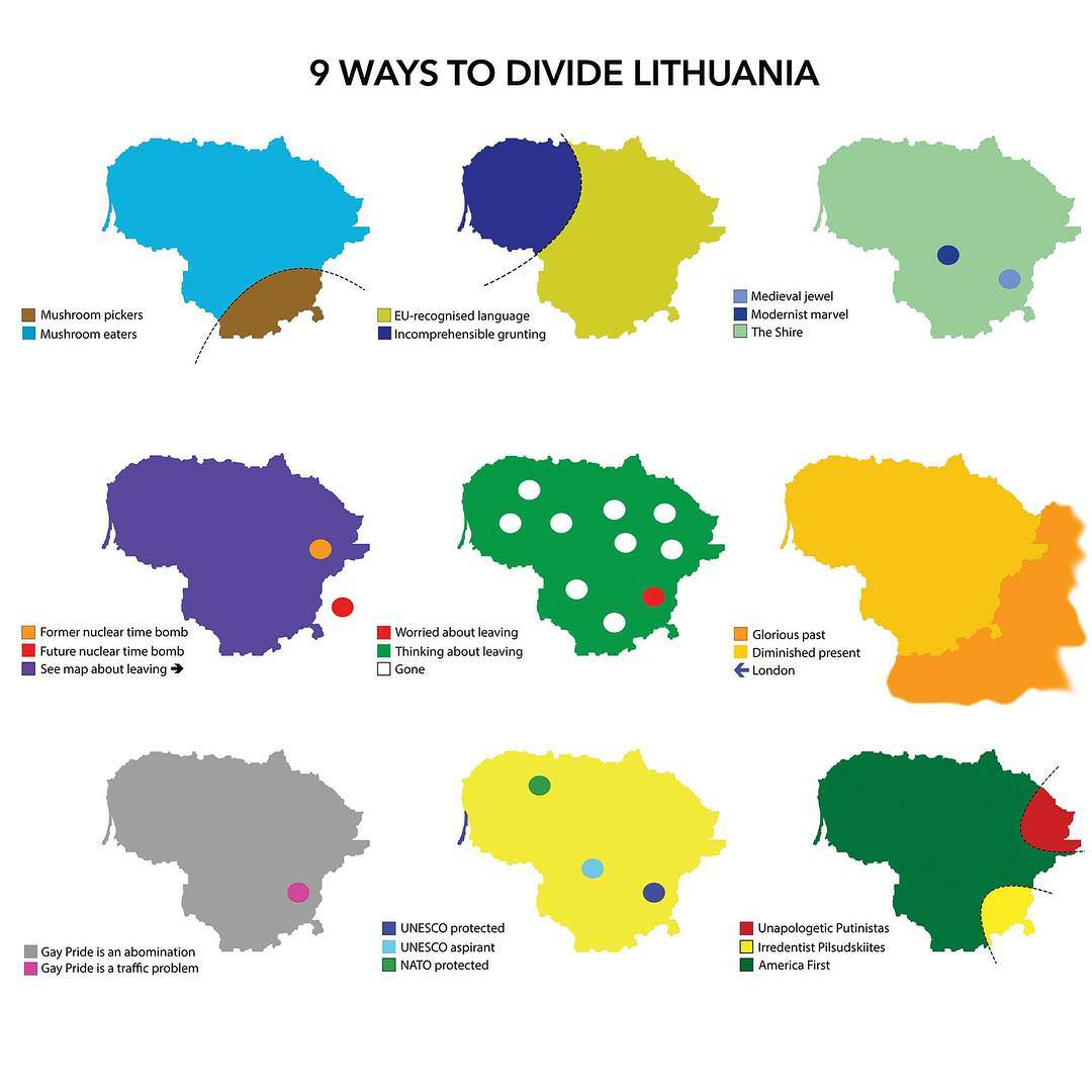
Nine ways to divide Lithuania
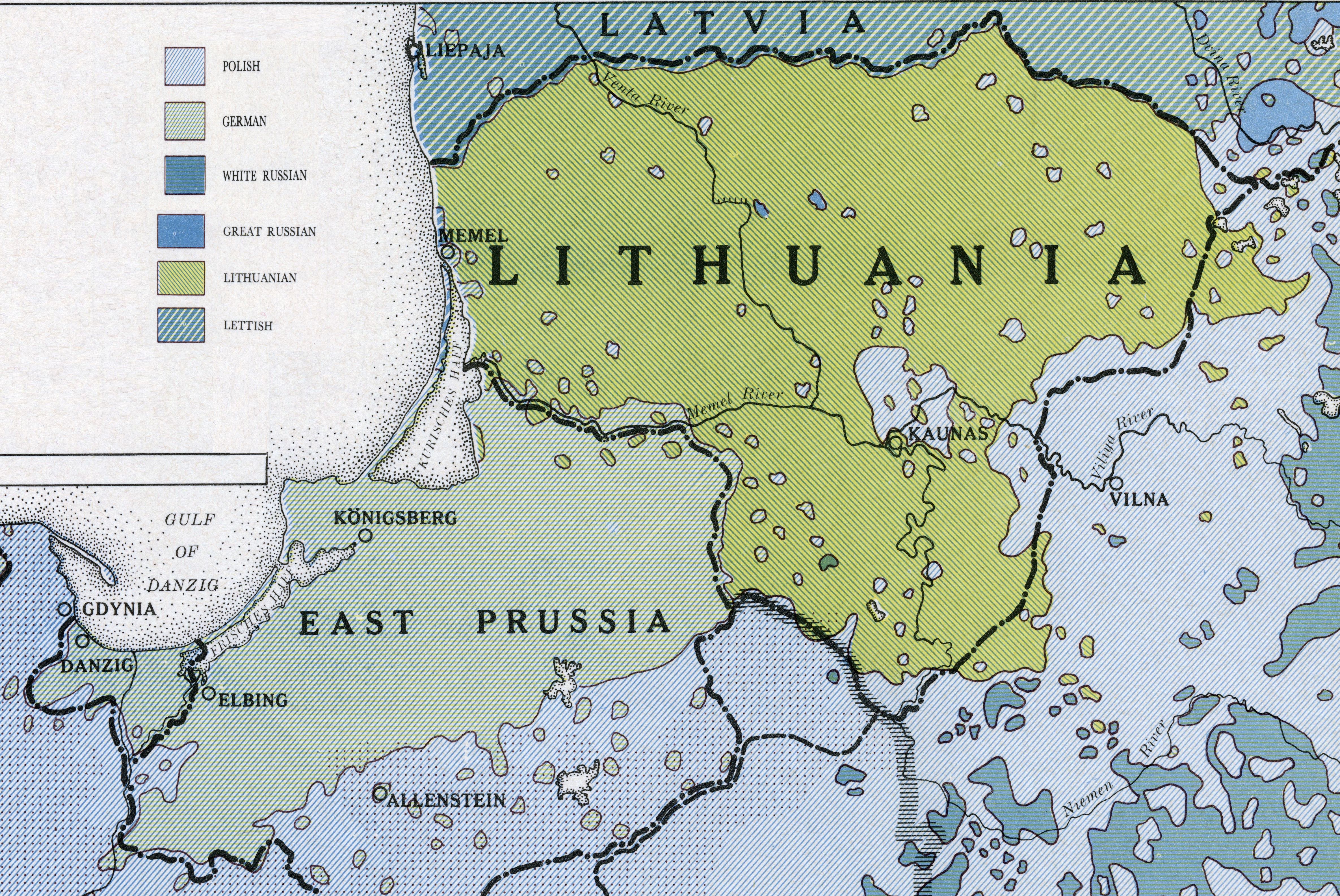
Language map of Lithuania and East Prussia (1919)
