1712 map of the Land of Canaan, showing divisions among the twelve tribes of Israel
1712 map of the Land of Canaan, showing divisions among the twelve tribes of Israel - by Edward Wells
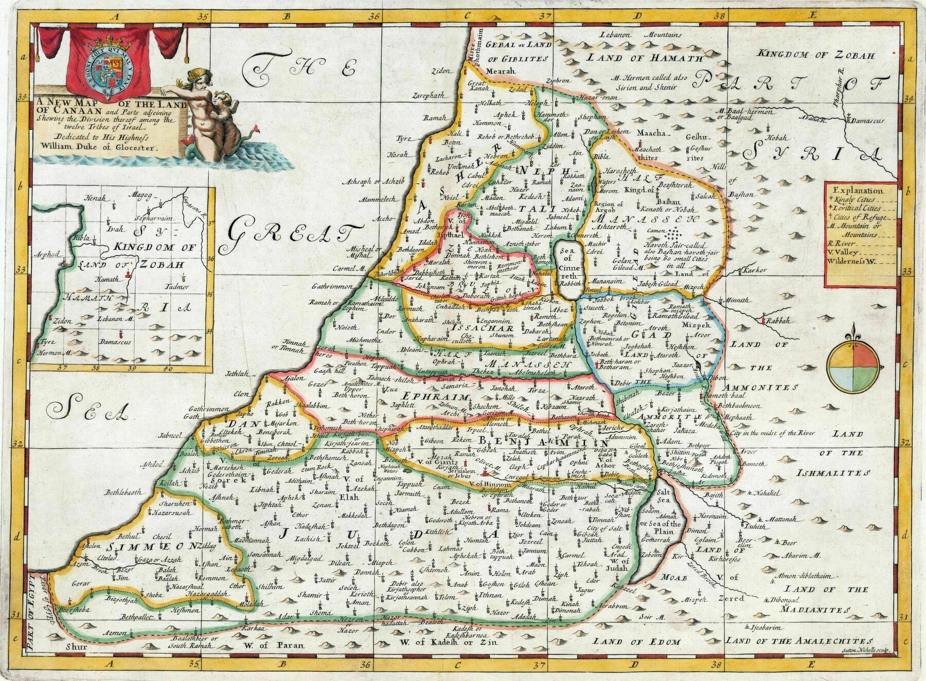

1712 map of the Land of Canaan, showing divisions among the twelve tribes of Israel - by Edward Wells

Geographical distribution of the main ethno-cultural communities in Israel and Palestine
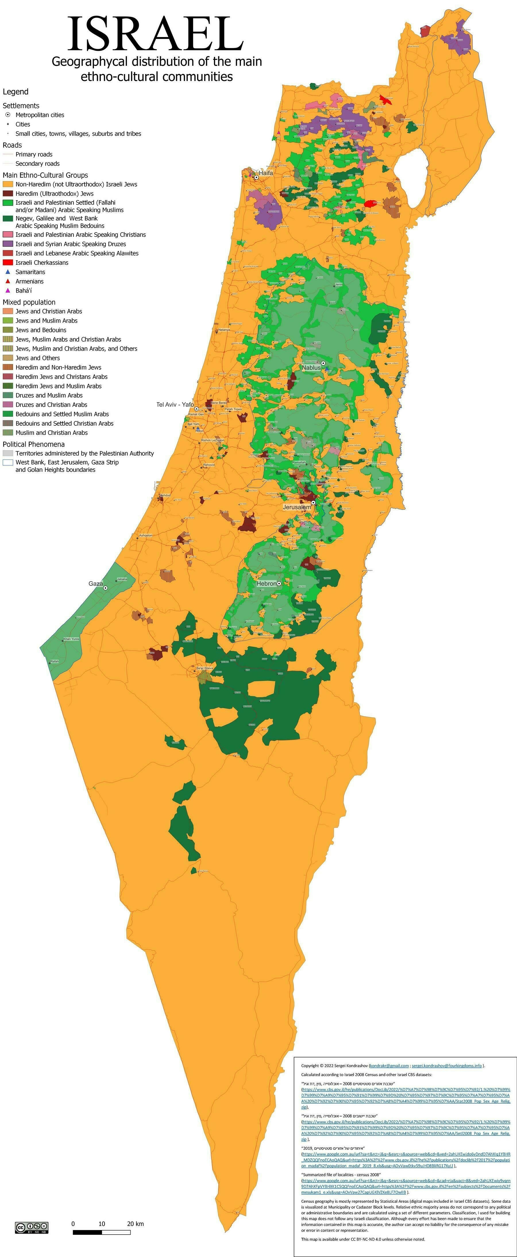
‘Man, Israel is tiny
Really is. Gaza is about the size of Manhattan and the Bronx put together, which is real tiny’
1946 map of The Crusades
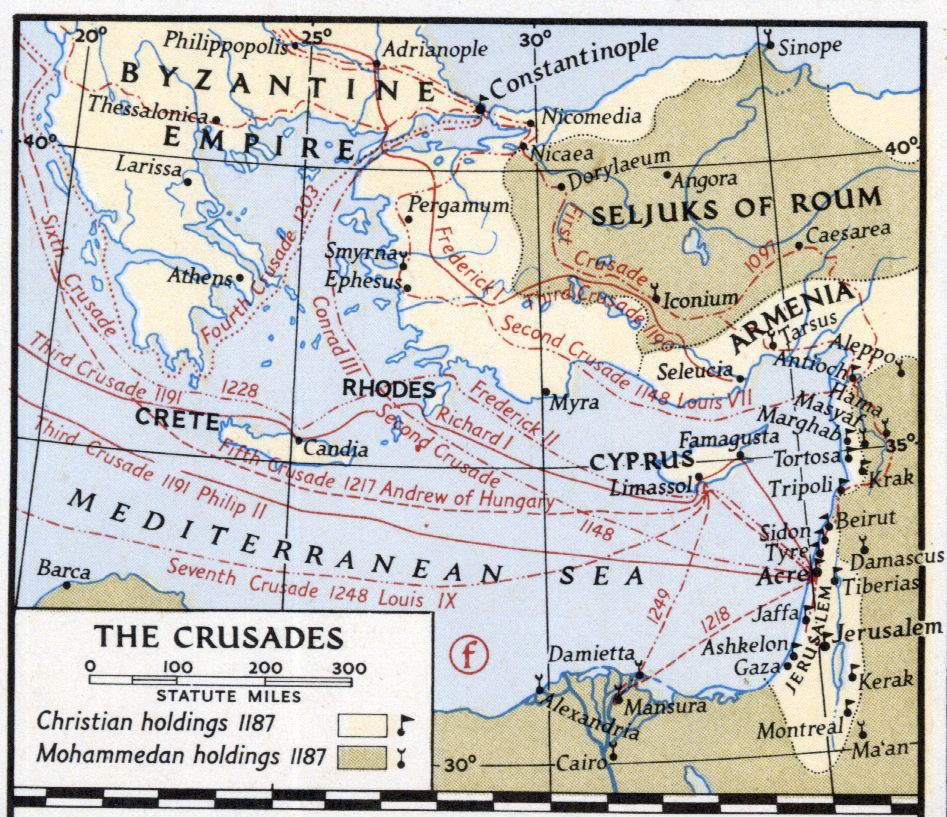
‘Israel is commonly referred to as the last Crusader outpost state of Europe, whose existence, like the ones before it, is a temporary blight that will eventually come to an end’–ConfidentEmploy
1909 Ottoman Map of Beirut Vilayet and Mount Lebanon Mutasarrifate
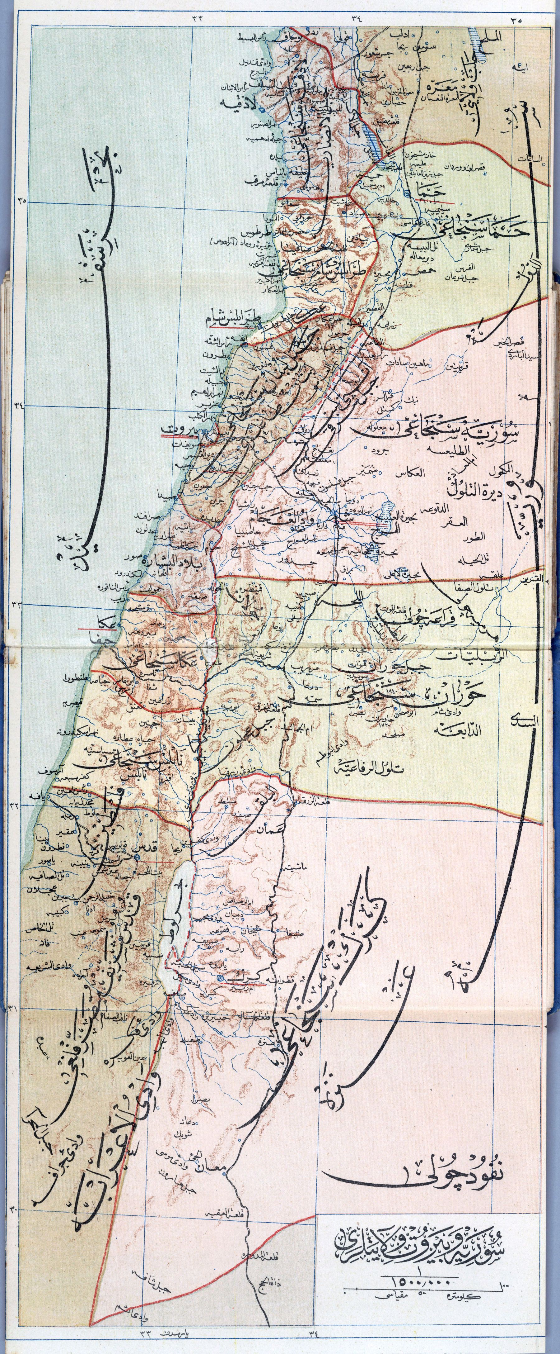
‘You can see the train tracks on the map which used to link Beirut with Damascus. What’s really cool is that many decades ago, the world wars and then the the civil war in Lebanon froze the old trains and train stations in time in Lebanon, and today, once you cross the eastern side of the coastal mountains in Lebanon, you can see the old abandoned train tunnels from the early 1900s used to protect the trains from the mountain snow’–Norcan987
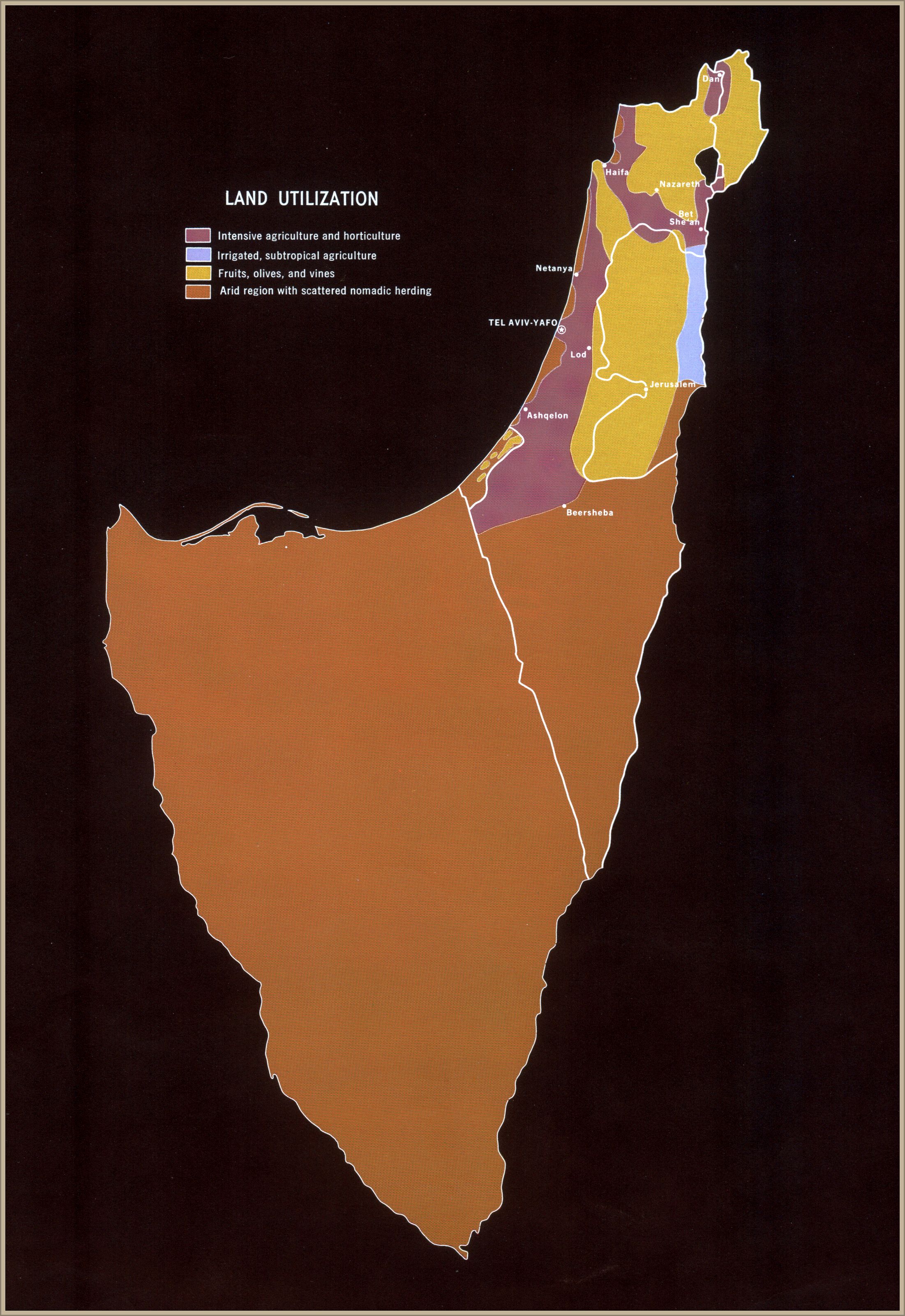
“So even in a three or two state solution, with full settler evacuation, the Palestinian people are getting a real short-straw draw of land”–Rosenthalferdinand