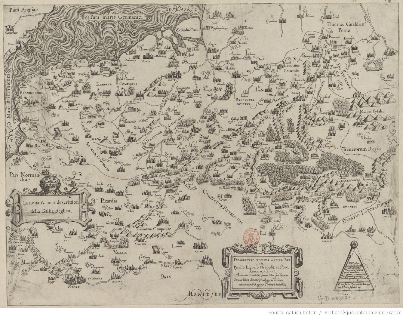
1558 map of Belgium
1619 map of Belgium and Holland
1619 map of Belgium and Holland
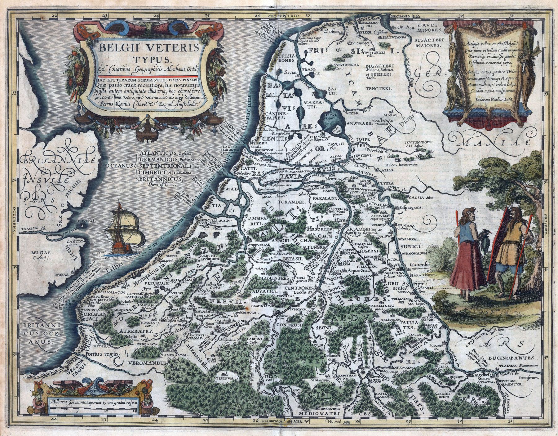
‘This must be a historical map from the Roman period made in 1619 imo’–ArchdukeFranzRIP
Belgium gridded population
Belgium gridded population
[2834 × 2834]
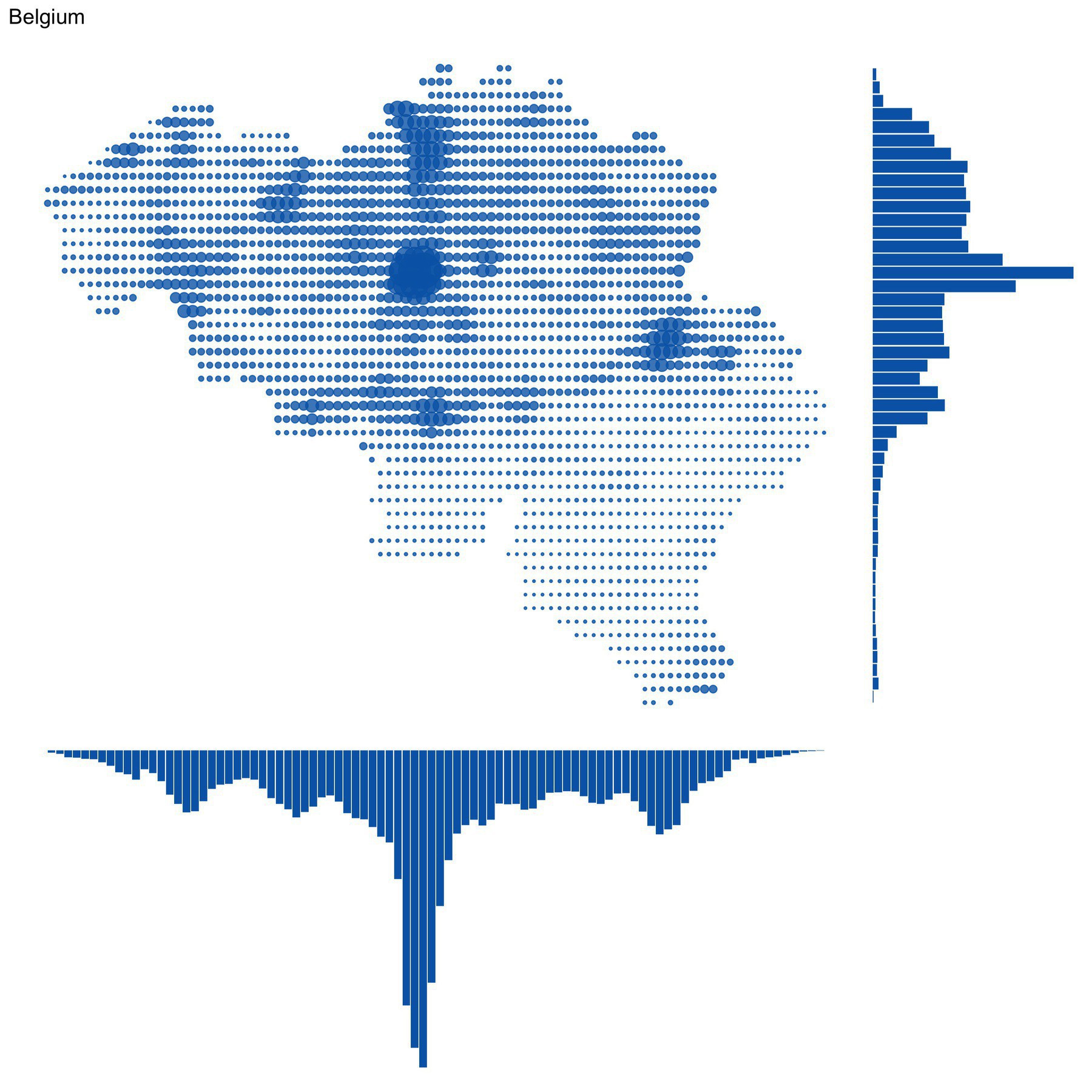
‘For those wondering, the three big cities responsible for that spike in the center are Antwerp (North), Brussels (Center) and Charleroi (South).
Also of note, in Wallonia, is the “sillon Sambre-et-Meuse”, the kind of line of higher population density going from the border with France to the border with the Netherlands/Germany, and passing through aforementioned Charleroi, as well as Liège (the big spot in the East). This region, following the rivers Sambre and Meuse (whence its name came) was the industrial heartland of Wallonia. Lots of coal mines, of steel industry. Now hit by unemployment as these sectors dwindled. Basically the rust belt of Belgium’–Pampamiro
Concentration of Belgians in the Netherlands and Dutchmen in Belgium per municipality
Concentration of Belgians in the Netherlands and Dutchmen in Belgium per municipality
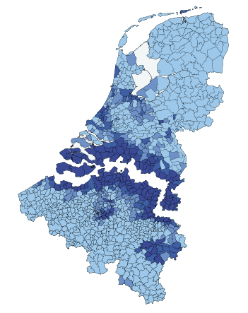
“What’s the difference between a Belgian and a Dutchmen???
(hehehe this is a joke hehehe)”
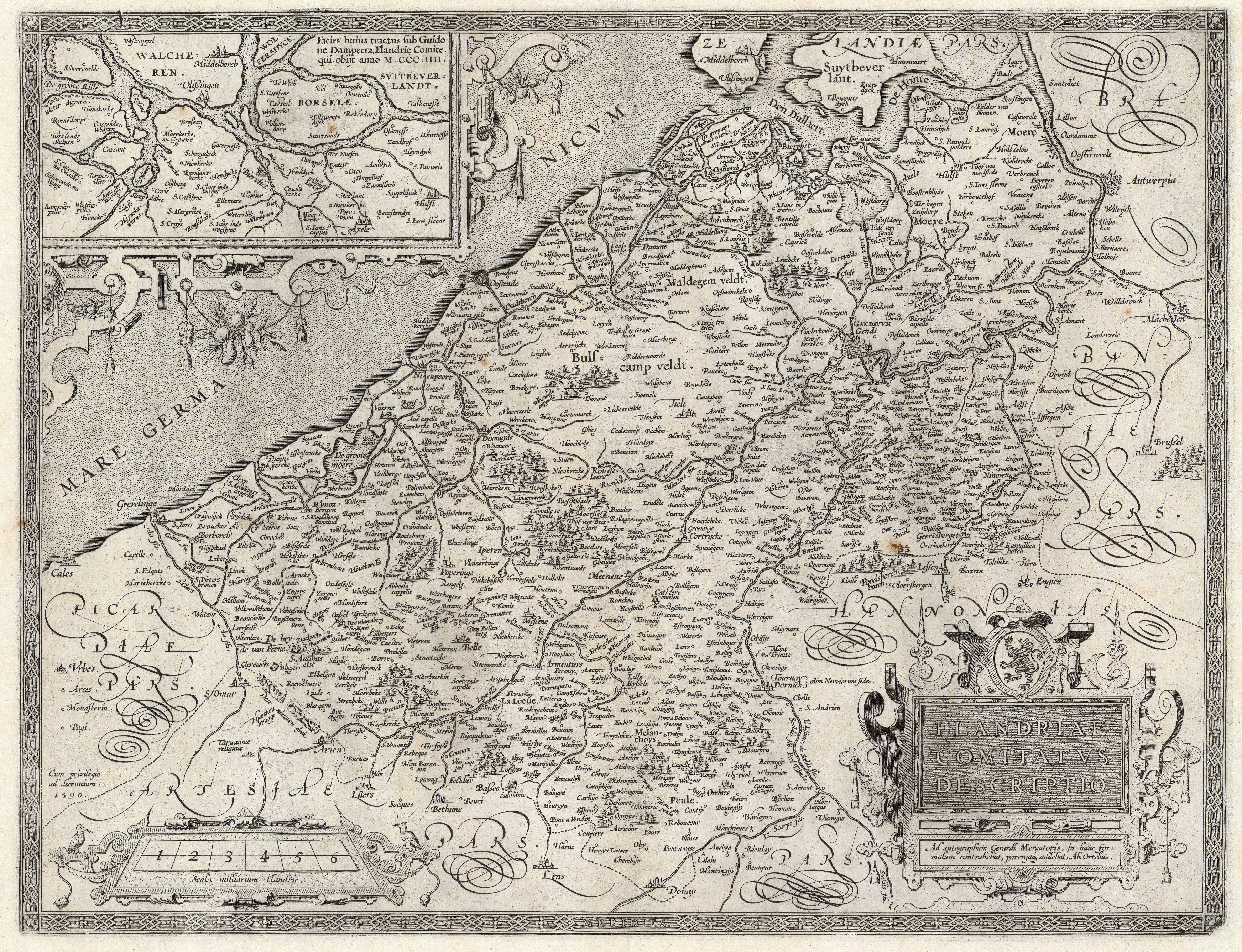
1590 map of Belgium
1590 map of Belgium
[5972 x 4579]
Official languages of Belgium by municipality
Official languages of Belgium by municipality
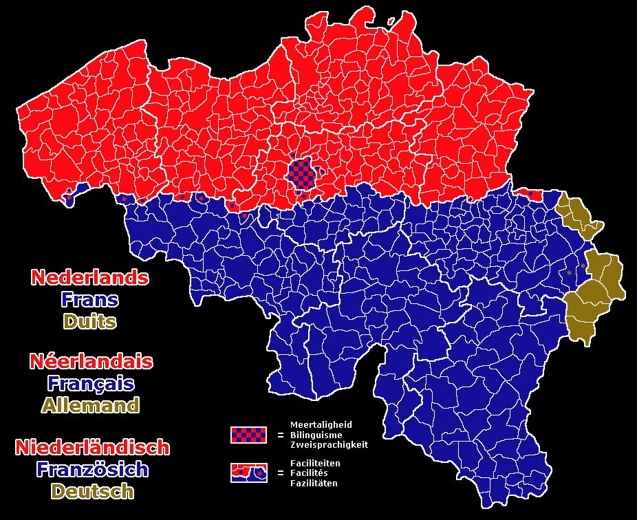
“I was on a local train in Flanders and all the announcements were in Dutch. Then as soon as we’d crossed the line into the Brussels area, they were player in both Dutch and French. On the same train”–dr_the_goat
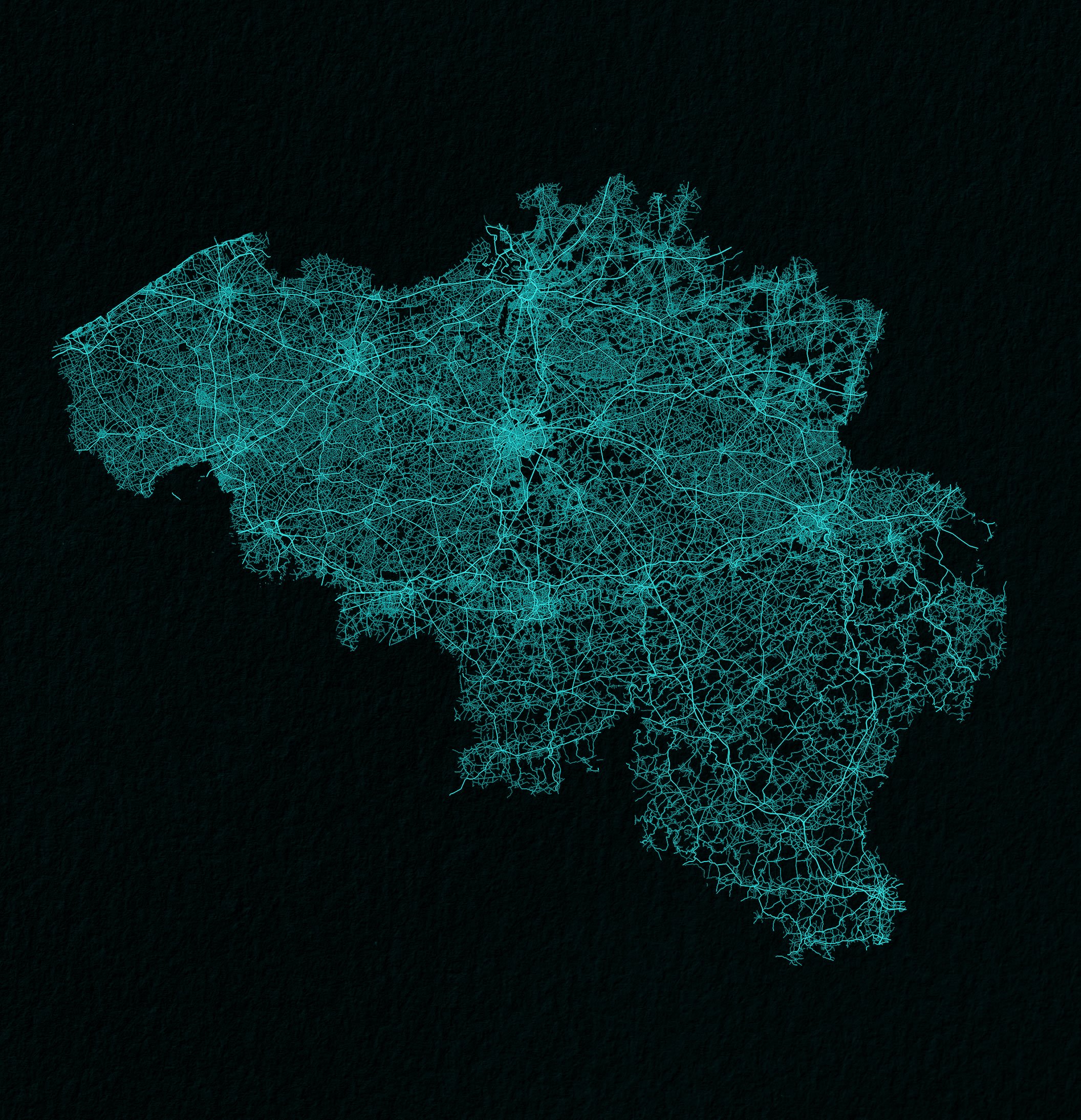
Belgium drawn up by roads
Leo Belgicus (1617)
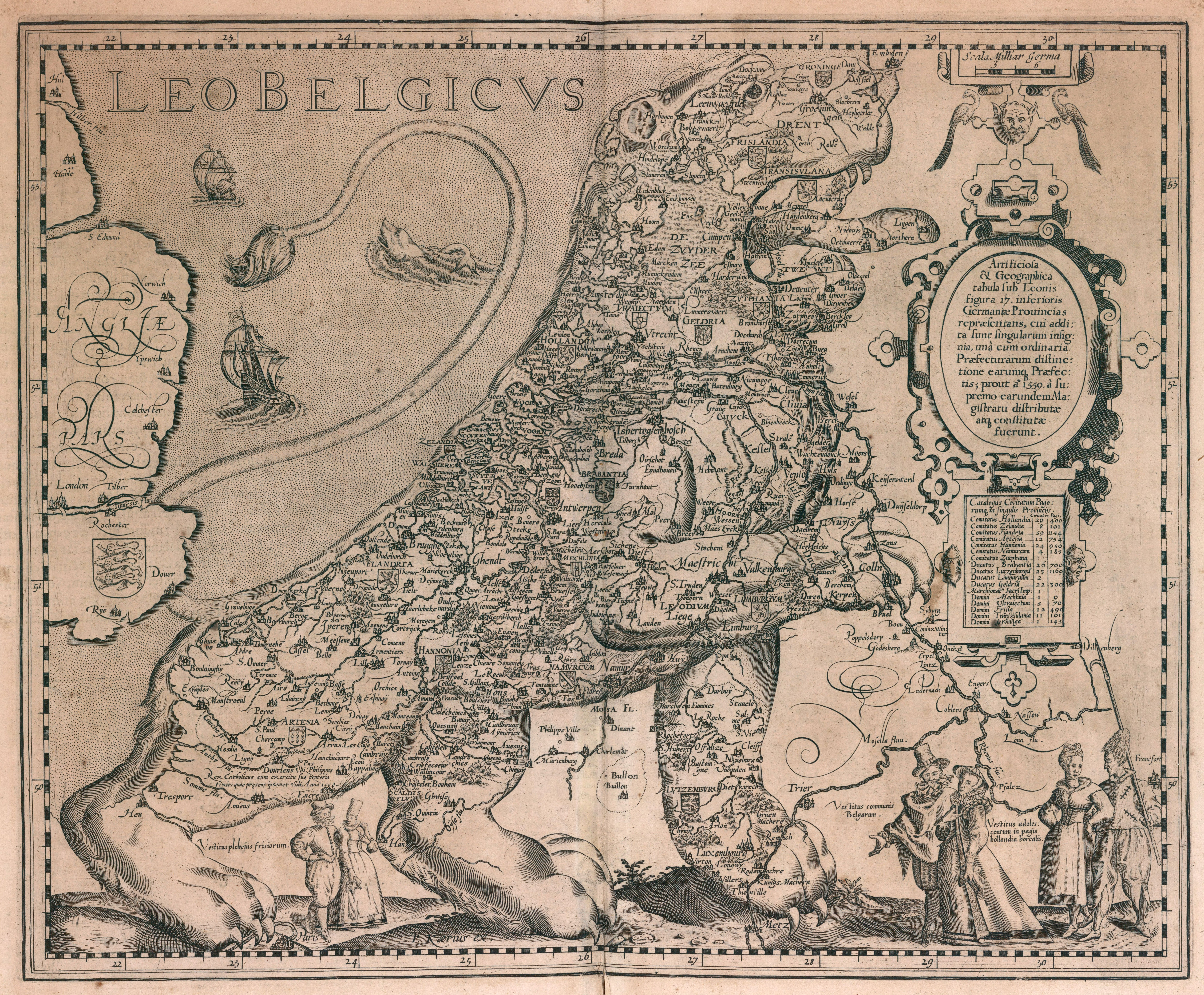
The Low Counries in the form of a Lion
1629 map of Brabant, Belgium
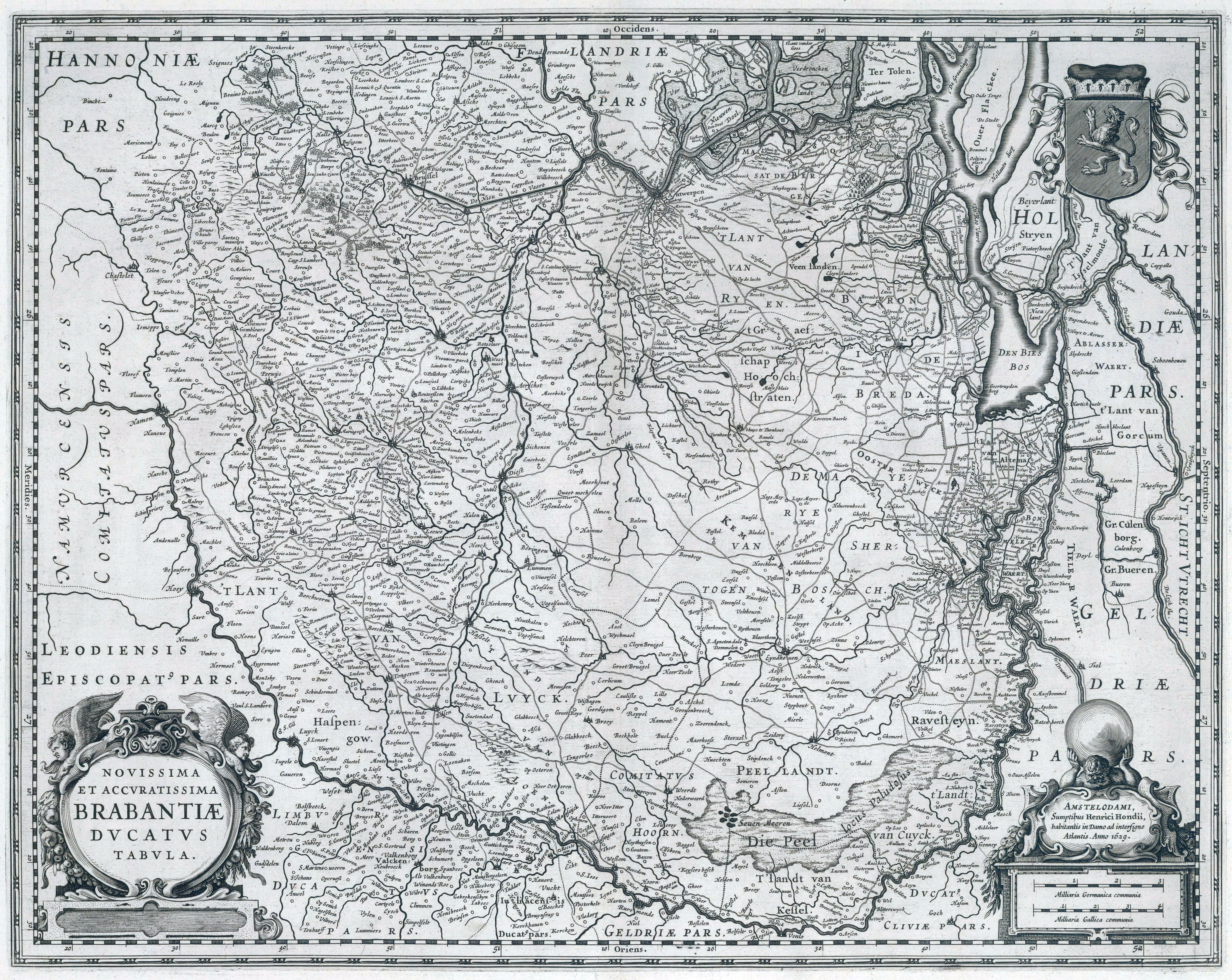
North to the right
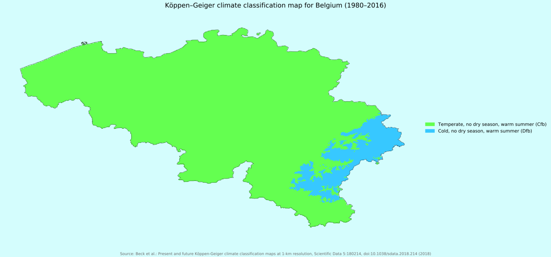
Köppen–Geiger climate classification map for Belgium (1980-2016)
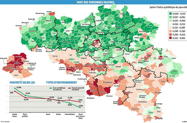
Poverty in Belgium
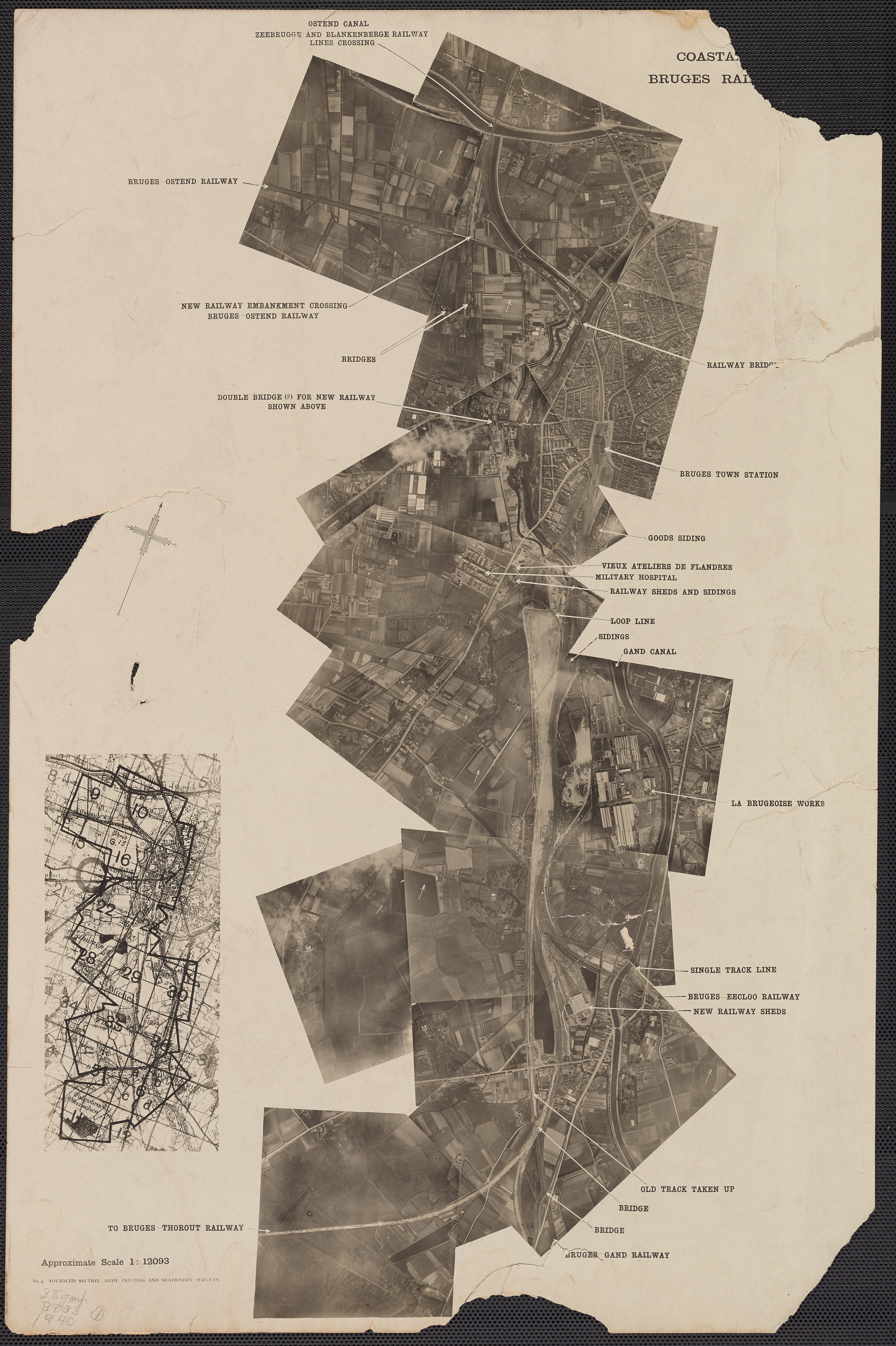
Reconnaissance over Bruges (1940)
