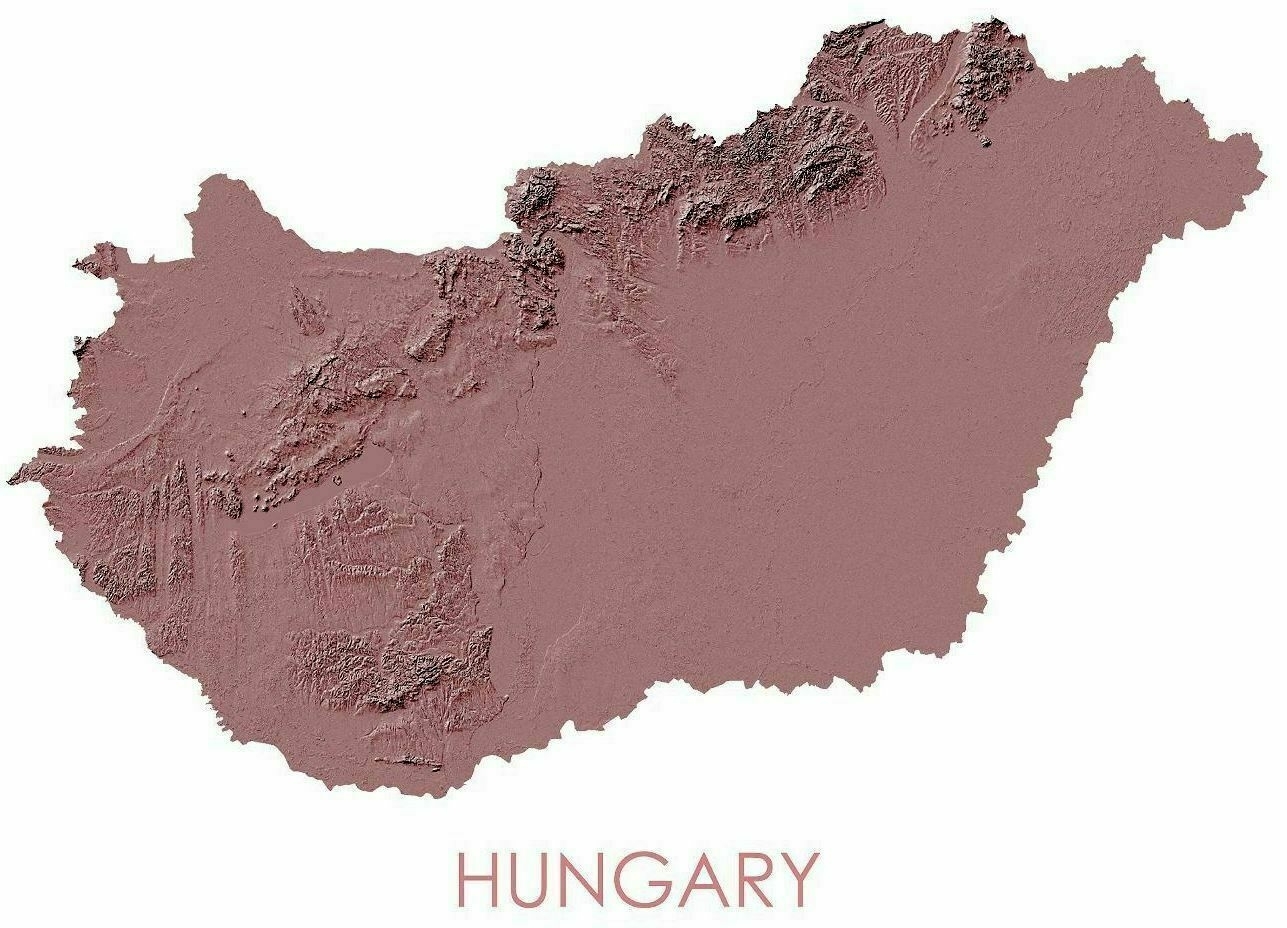
Topographic Map of Hungary
Topographic Map of Hungary

‘Mmmmm, Pannonian Basin
The Pannonian Basin, or Carpathian Basin, is a large basin in Central Europe. The geomorphological term Pannonian Plain is more widely used for roughly the same region though with a somewhat different sense, with only the lowlands, the plain that remained when the Pliocene Epoch Pannonian Sea dried out. It is a geomorphological subsystem of the Alps-Himalaya system, specifically a sediment-filled back-arc basin which spread apart during the Miocene. Most of the plain consists of the Great Hungarian Plain (in the south and east, including the Eastern Slovak Lowland) and the Little Hungarian Plain (in the northwest), divided by the Transdanubian Mountains’
