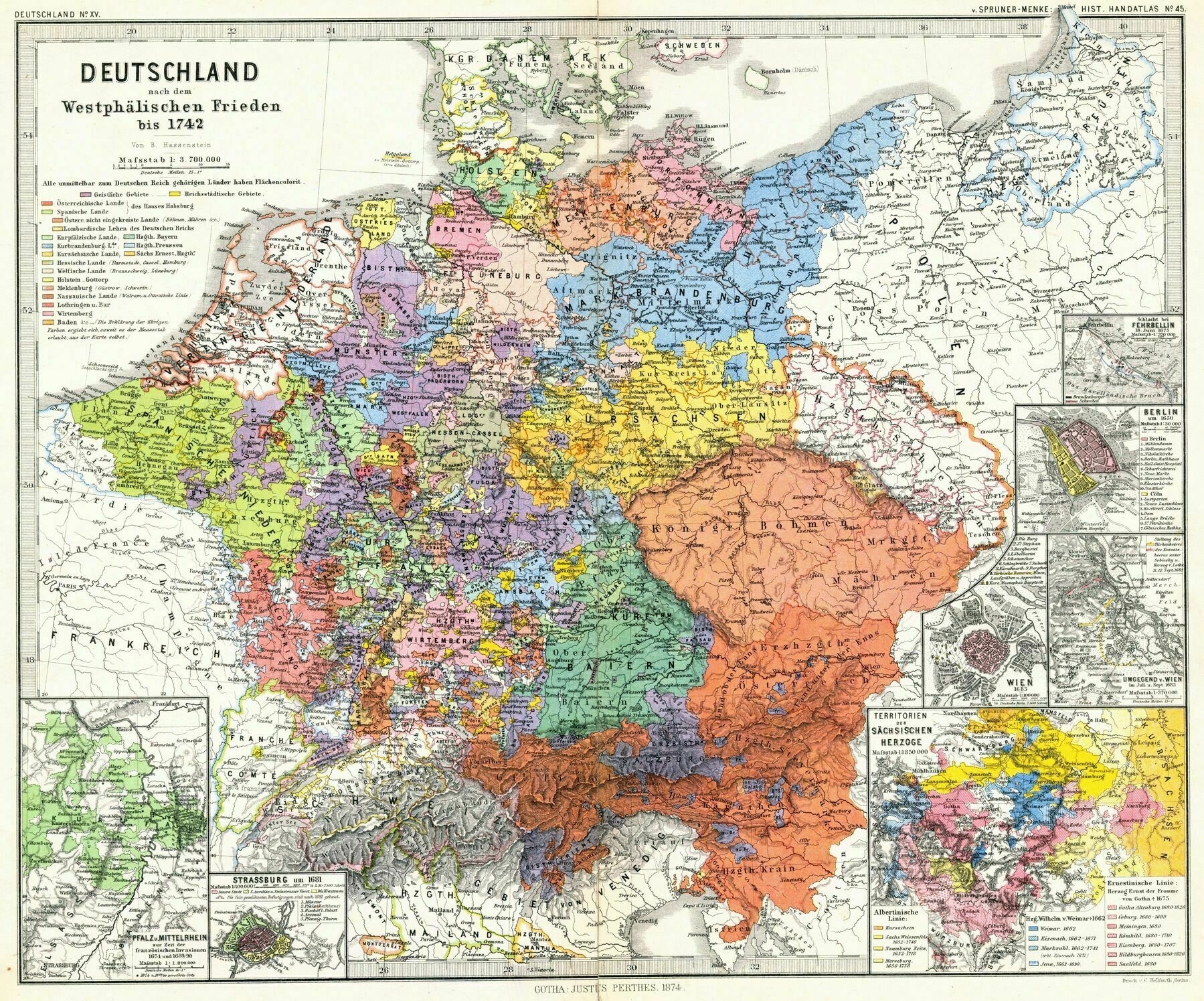
1880 map showing the Holy Roman Empire [Germany] after the Peace of Westphalia until 1742
1880 map showing the Holy Roman Empire [Germany] after the Peace of Westphalia until 1742 - by Heinrich Theodor Menke and Karl von Spruner
‘I love the HRE, beautiful and detailed map!’–Cel_Francis