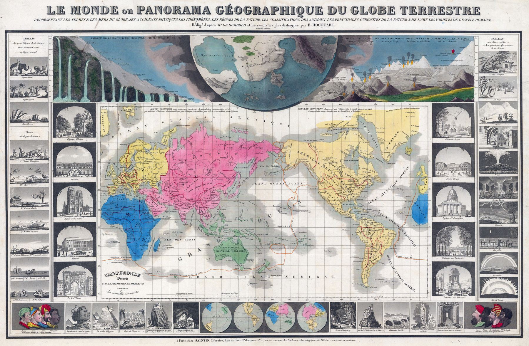
1854 map of the world on Mercator's projection showing the routes of Cook's fateful 3rd voyage
1854 map of the world on Mercator’s projection showing the routes of Cook’s fateful 3rd voyage ; also with comparative tables of the heights of mountains and waterfalls, and other illustrations

‘Interesting seeing that they considered the Indian and Pacific to be one mega ocean’–KolonelJoe
